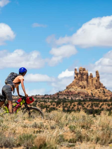
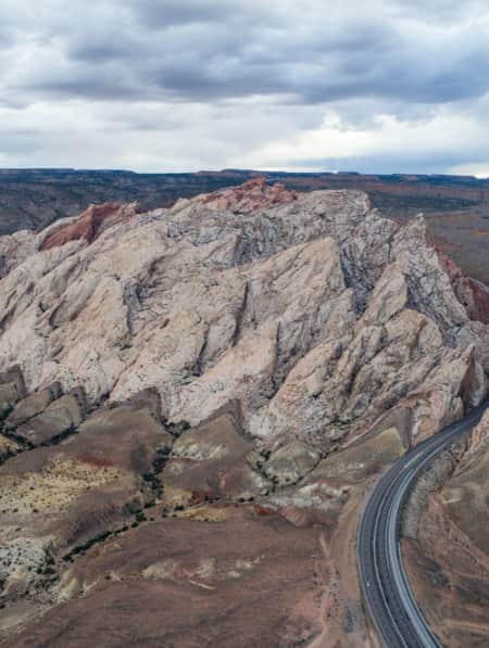
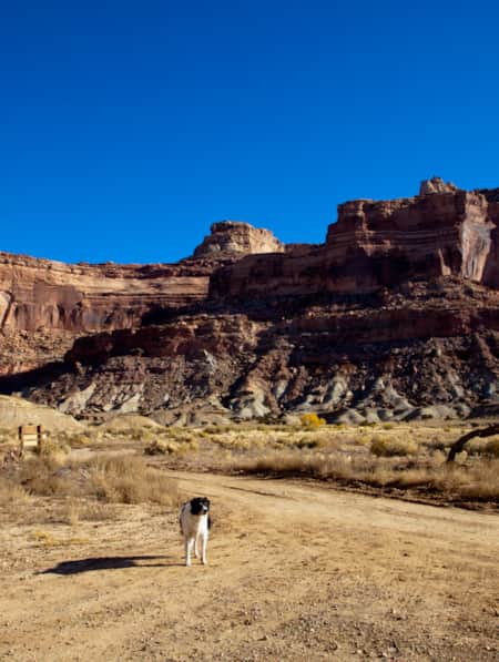
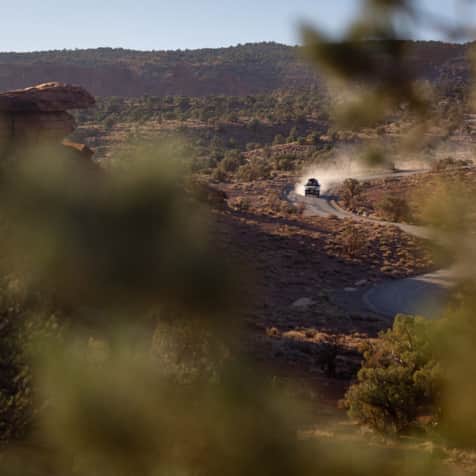
Riding the Wild Horse Mountain Bike Trail System means traveling through the spectacular desert landscape of Goblin Valley State Park.

We found the trails to be very well marked and easy to follow. You can access them via an upper trailhead or straight out of the campground.

The park currently offers about seven miles of purpose-built mountain bike trails arranged in five interconnected loops rated from beginner to intermediate.


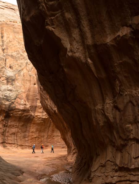
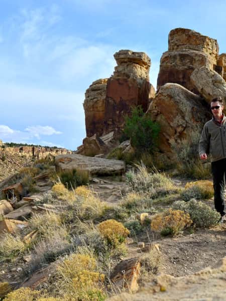
Located just a bit west of the popular Little Wild Horse-Bell Canyon, we decided to up the ante with a hike into Ding and Dang canyons.

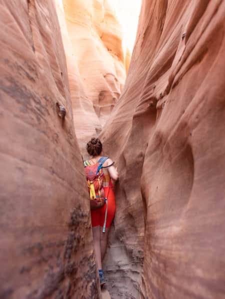
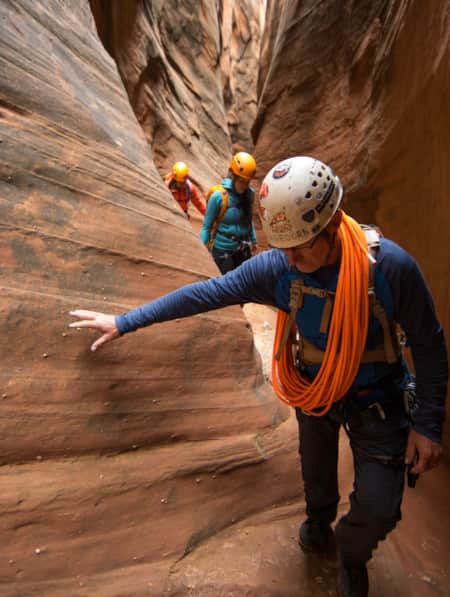
We took the recommendations to travel counterclockwise, climbing up the obstacles in Ding and thrutching down the crux sections of Dang. Some of these drops included lowering hand-over-hand down webbing fixed to bolt anchors. Challenging indeed!

This six-mile loop is known as one of the state’s most adventurous non-technical canyon hikes.


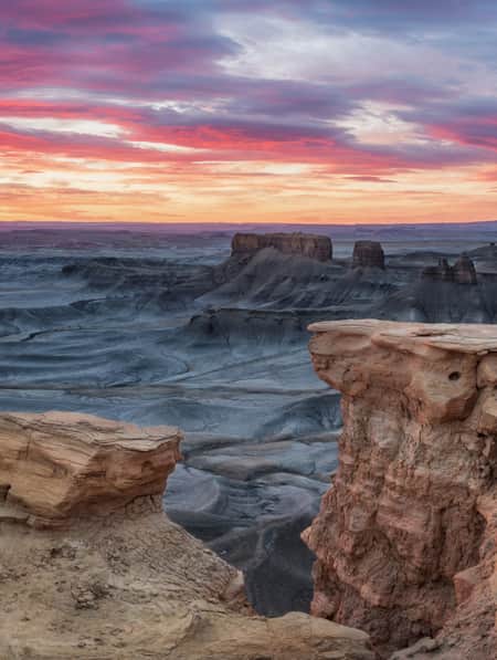
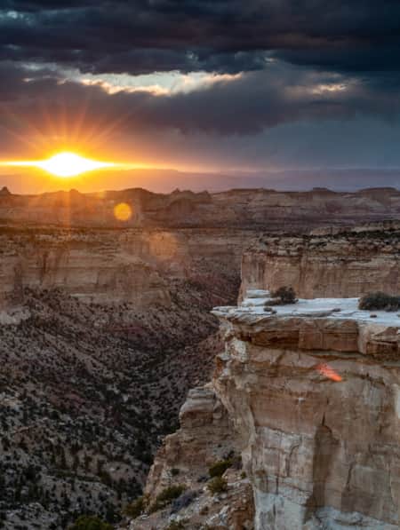
Taking in the “Little Grand Canyon” from The Wedge Overlook. The drive-up viewpoint allows a sky-high view all the way down to the San Rafael River thousands of feet below. A trail network for hikers and bikers follows the cliff top.

An avid rockhound, our son found a geologic haven in the exposed strata and abundant geodes found in the canyons of San Rafael Swell. It is “look-but-don’t-touch” inside the state park, but collecting a few rocks for personal-use is generally allowed on neighboring public land managed by the BLM.

The San Rafael Swinging Bridge (often simply called the CCC Suspension Bridge) is a historic wooden and steel cable suspension bridge that spans the San Rafael River in the northern section of the San Rafael Swell. Built in 1937, it is a fascinating relic of Great Depression-era engineering and holds a distinct title: for decades, it was the only bridge spanning the San Rafael River, turning a notoriously treacherous, isolating water crossing into a reliable route for locals.


Stories To Inspire Your Travel
-

Permit of Solitude in Robbers Roost
Local guide Christopher Hagedorn leads a group through Robbers Roost in Southern Utah, where wind, water and time has left a primitive maze of canyons.
-
Reef Walking, Petroglyphs and Bones
Check out the world’s densest concentration of dinosaur bones at Cleveland Lloyd Dinosaur Quarry and explore other prehistoric wonders around Utah.
-
15 Non-Technical Slot Canyons
You don’t have to be Spider-Man to explore some of the best slot canyons Utah has to offer. You just need to be ready for an adventure in tight spaces with huge photographic rewards
-
Movies Filmed in Utah: Plotting a Cinematic Drive-Through
Follow a Germany-based film enthusiast on an extended road trip to discover the rich history of Utah cinematography.
-
Filmed in Utah: 7 Itineraries Through Hollywood's Most Iconic Settings
While Utah's striking scenery makes it a go-to for filmmakers, the state is equally a must-visit for road-trippers and outdoor adventurers. Here are a few film and television-themed trips and tips to consider for your Utah visit.
-
A Deep Dig into Utah’s Deep Time
Utah is one of the most important archeological zones on the planet. Discover how dedicated, local paleontologists and volunteers teach stewardship alongside exploration.
-
How to Canyoneer Safely
Whether you’re a newbie or a seasoned canyoneer, here are six expert tips for your next canyoneering adventure.
-
Searching for Dinosaur Bones in Capitol Reef Country
The Hanksville-Burpee Dinosaur Quarry dates back to the Jurassic Period and is approximately 150 feet wide by 600 feet long. Hundreds of dinosaur bones have been discovered here, including those of the Stegosaurus, Brontosaurus and Brachiosaurus.
-
It’s About Time We All Unplugged
In Utah, you can find far-flung places to reset, wellness resorts that promote digital detox, and destinations where you can swap screen time for much-needed adventure time.
-
Across a Snow-Covered Desert
Follow this itinerary for a week-long winter road trip across the snow-covered desert of Southeastern Utah.
-
Explore Utah Through the Lens of "Horizon: An American Saga"
It's no surprise that Hollywood has turned to Utah's stunning and untouched terrain time and again.
-
The Undiscovered San Rafael Swell
Circle back to the San Rafael Swell, a gem of public lands in Central Utah you may have missed on your last visit through some of Southern Utah's Mighty 5® national parks. The Little Grand Canyon of the San Rafael Swell is a stunning panorama from above, and an incredible adventure within.
-
San Rafael Swell Throughout the Seasons: 4 Reasons to Visit
From narrow slot canyons to grand sweeping vistas, sandstone plateaus to meandering rivers, San Rafael Country and the San Rafael Swell are home to some of the most spectacular scenery in Utah.
-
Bikepacking through Time in the San Rafael Swell
We're miles away from civilization here in southeastern Utah’s San Rafael Swell, and we carry everything we need on our bikes. This is the type of adventure I've longed for, a trip that reminds us of our self-worth, resilience, and how little we actually need to survive.
-
The Underrated Trails Within the San Rafael Swell
Utah's San Rafael Swell features a vast landscape of winding gorges carved deep by rivers, and you'll find multi-colored sandstone mountains and mysterious slot canyons. Here's a quick guide to some of the best trails to explore the region.
-
Touring Utah with the State’s Most Well Known Women Writers
The diversity and beauty found in Utah has often been captured by women. Here are the places that seven of Utah’s most well known women writers knew and loved most.
-
11 Utah Scenic Byways for Leaf Peeping
Explore 11 Scenic Drives in Utah for some serious leaf peeping. Utah is one of the best places to see fall foliage, visit great attractions, events and festivals.
-
A Grand Tour of the San Rafael Swell
This grand tour goes into the heart of Utah's Swell from north to south, connecting the uplift’s spectacular views with playful slot-canyon hikes, bike excursions, dinosaur bones, and soft-serve cones in town.
-
Dog-Friendly Utah: The Road to Mighty
Want to bring your furry friend on your next vacation? Utah is home to several great dog-friendly national parks and other fun destinations. Check it out and plan your trip!