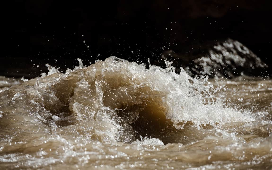
Flood Alerts
Flash flood conditions change instantly. Areas along Northern Utah’s Wasatch Front continue to manage flooding and canyon landslides, while certain regions in Southern Utah face the risk of flash flooding and unsafe waters.
Know before you go: Responsible travel equals safe travel. Before hitting the trail or starting the drive, use these sites and apps for the most up-to-date information:
National Park Alerts
See alerts and conditions from the National Park Service for Utah’s Mighty 5 — Arches, Bryce Canyon, Canyonlands, Capitol Reef and Zion national parks.
Weather Alerts and Flood Forecasts
Find weather forecasts and flood risks throughout Utah and its neighboring states from the National Weather Service and keep an eye out for Wireless Emergency Alerts.
Forecasts by City:
- Salt Lake City - Find weather and flood alerts for the Wasatch Front
- Ogden - Find weather and flood advisories for Weber River
- Provo - Find weather and flood advisories for Provo River
- Park City - Find weather and flood advisories for the Wasatch Back
- Moab - Find weather and flood advisories for Colorado River, Arches and Canyonlands
- Logan - Find weather and flood advisories for Cache County
- St. George - Find weather and flood advisories for Southern Utah and Zion
Current Road Conditions
Discover up-to-date road conditions, closures, traffic and webcams at the Utah Department of Transportation or on the app.
Landslide Information
Turn to Utah Geological Survey for current landslide events in Utah.
State Park Conditions
Check conditions for state park travel at Utah State Parks.
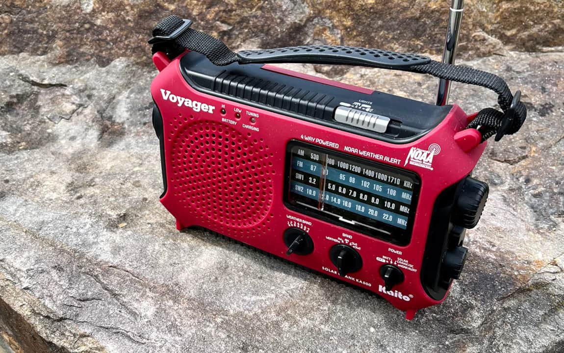
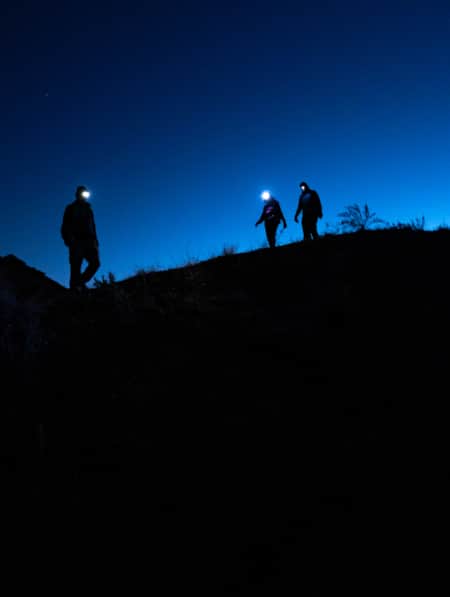
How To Stay Safe in the Outdoors
Know how to stay safe and informed during your Utah trip and who is helping when you get into trouble.
"Play it smart, play it safe. Whether driving or walking, any time you come to a flooded road, turn around, don't drown."
– National Weather Service
Discover More
-

Planning Ahead for Your Utah Adventure: Outdoors Tips for Three-Season Fun
Before you plan your Utah outdoor adventures, check out our guide to proper preparation. You’ll enjoy your action-packed travels even more. Read now!
-
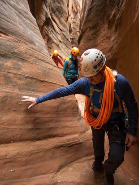
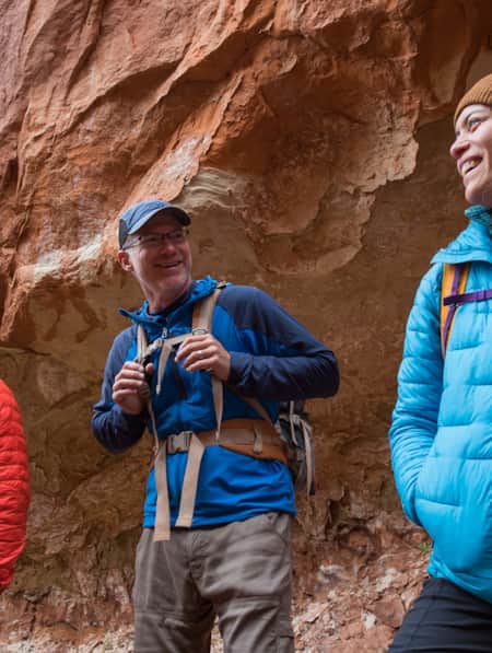
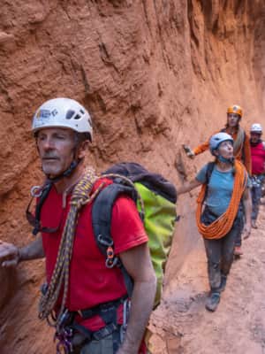
How to Canyoneer Safely
Whether you’re a newbie or a seasoned canyoneer, here are six expert tips for your next canyoneering adventure.
-
Be Prepared for the Southern Utah Backcountry
Prepare for a trip out into Utah's rugged red rock backcountry by learning as much as possible about the area before heading out. Stop by a ranger station to educate yourself and pick up necessary permits. Always practice good backcountry ethics and proper safety techniques for a safe and enjoyable adventure.
-
5 Reasons to Hire a Guide to Run Utah’s Rivers
While we eat and splash in the river to escape the early morning heat, the four guides will wash the dishes, break down camp, load our bags on the rafts and discretely stow the toilet.
-
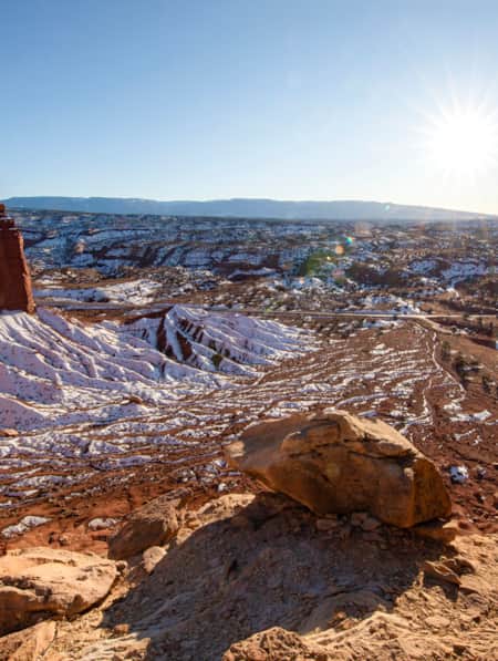
A Winter’s Desert: Visiting Southern Utah in the Slow Months
Experiencing the peace of canyon country in the winter is an attraction of its own.
-
How to Slow Travel in Utah
Avoid the mad scramble and consider slow travel as a better approach to your Utah trip.
-
5 Expert Tips to Prepare for Your Utah National Parks Adventure
If you’re planning to visit Utah national parks for a hike, learn important tips to maximize your experience and keep you and your family safe.
-
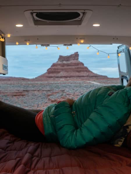
A Van Lifer’s Guide to Responsible Travel in Southern Utah
When Utah’s dirt roads are calling you, it’s time to plan your van life road trip. Here’s what you need to know to travel safely, support Utah’s rural communities, and help preserve the delicate desert landscapes.
-
How to Visit Utah’s Most-Visited Forest
The Wasatch Front mountain range offers endless amounts of recreational activity. Learning how to visit responsibly will enhance your overall experience.
-
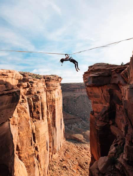
Walking The Line Between Risk and Responsibility
Why a Hawaii-based highliner and influencer hasn't returned to Utah — yet.
-
What to Wear on a River Rafting Trip
There are a variety of Utah river trips to be had, from rafting the Green River’s whitewater, to leisurely floating the Colorado. Here's your packing list.
-
How to Bikepack: Pro Tips for Planning a Multi-day Backcountry Ride
Want to learn how to bikepack? Check out these tips and bikepacking gear list from veteran rider Kurt Gensheimer and plan your own Utah bikepacking trip!
-
Use These Apps to Enhance Your Utah Travel
Apps can help you identify wildlife, learn about the night sky, plan your trip, and more. Use these apps to help take your Utah trip to the next level.
-
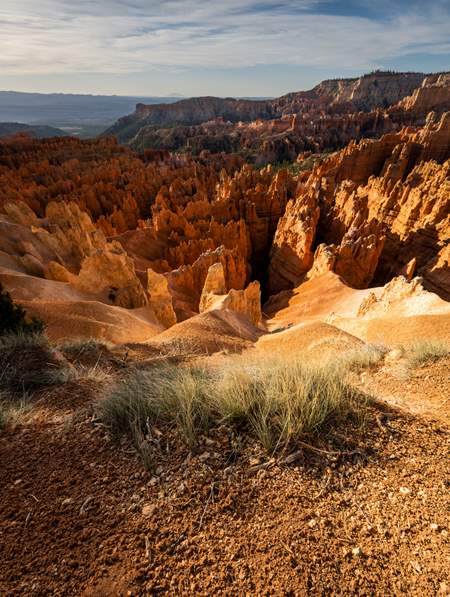
Winter in the Bryce Canyon Area: Hiking, Cross-Country Skiing and Snowmobiling
Learn more about why Bryce Canyon and the surrounding areas are the perfect place for winter hiking, cross-country skiing and snowmobiling.
-
Backpacking in Canyonlands National Park
Canyonlands National Park offers a spectrum of backpacking opportunities — from short trips at designated backcountry campsites to longer, adventurous trips that require extensive planning and desert canyon navigational knowledge.
-
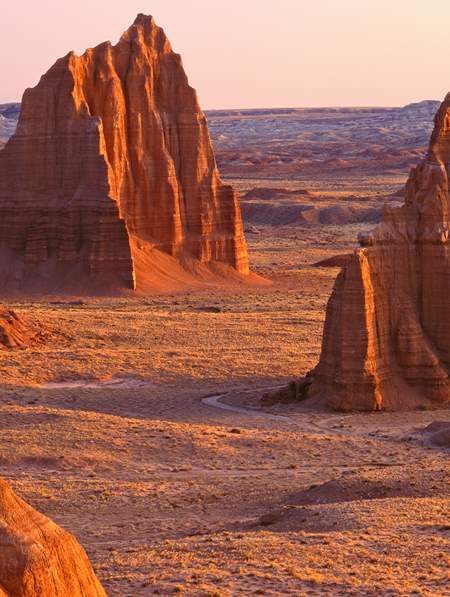
Hiking the Desert in Capitol Reef National Park
-
The Complete Winter Camping Packing List for Staying Warm in Southern Utah
For most travelers, Southern Utah winters prevent comfortable camping, and occasional snowfall can make outdoor adventure a little more challenging. With a little extra planning, good layers, and the right equipment, however, you can enjoy Utah's national parks in the solitude of winter.
-
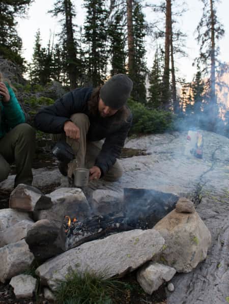
How to Backcountry Camp Responsibly
Four tips on how to camp more thoughtfully and responsibly in Utah's backcountry.
-
How to Visit Utah's National Parks
Use these tips to make the most of your trip to Utah’s national parks and monuments.
-
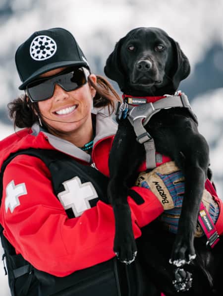
Powder Pups to the Rescue
Four furry friends help the Solitude Ski Patrol do their duties.
-
How to Stay Safe and Stoked as a Solo Woman Traveler
Tips to help keep solo women travelers safe on road trips and outdoor adventures in Utah and beyond. From a gear checklist to suggestions about where to camp and how to handle stressful situations, writer and photographer Elisabeth Brentano shares her experiences.
-
How to Camp on Utah’s BLM Lands
Read these insights and tips gathered from a novice’s first-ever camping trip on BLM and public lands to gain the confidence you need to recreate happily and respectfully on Utah’s public lands.
-
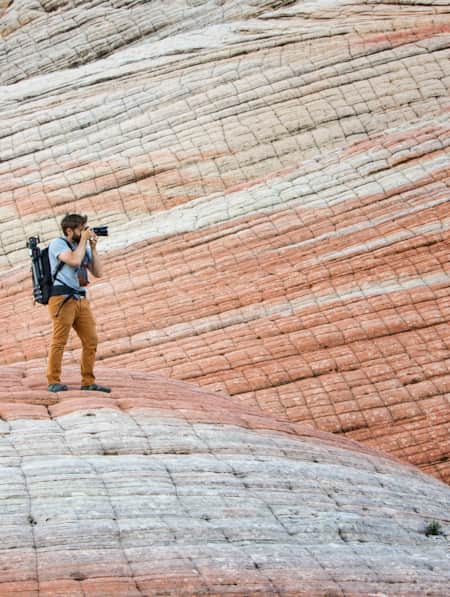
A Photographer’s Guide to Mindful Travel
Utah's deserts are a photographer's dream, yet very fragile. Find out how photographers can take a few simple steps to care for this unique environment.
-
You're Inspired to Go Off the Beaten Path. Now What?
Here’s how to navigate Utah's backcountry safely.
-
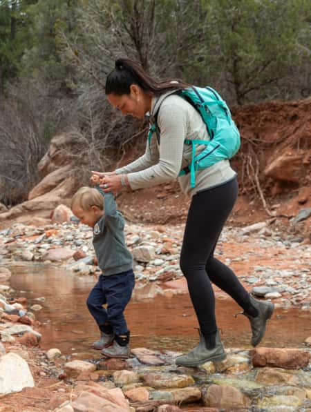
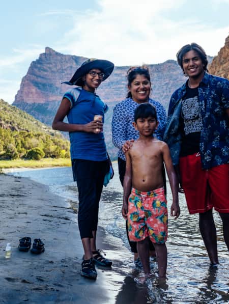
Hiking Southern Utah with Younger Children: Tips for Family Friendly Adventure
Find safety tips, side activities and kid-friendly hikes in Utah with our special guide to hiking Southern Utah with children. Read now!