Bicentennial Highway 95: A Historic Utah Road Trip

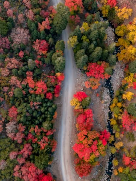
Spring and summer are when many people head out on road trips to see Utah’s stunning landscapes. But late fall can be the perfect time to hit the road for a more peaceful experience, crisp cool days for hiking, and getting a final look at fall colors.
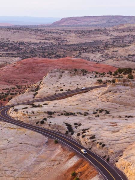
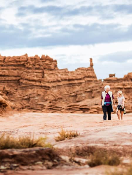
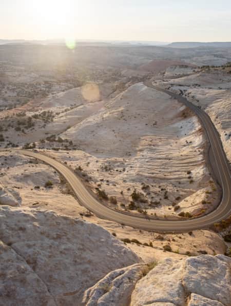
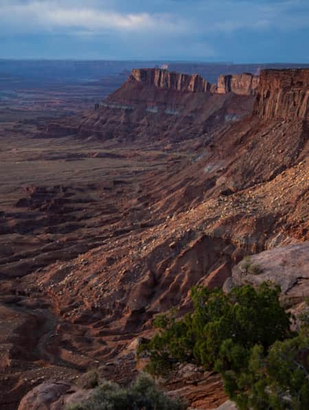
One of the state’s most remote stretches of highway is State Route 95 (SR-95), which runs for 126 miles between Hanksville and Blanding. Traversing miles of canyons and rock formations, the route includes Natural Bridges National Monument and passes through sections of Glen Canyon National Recreation Area and Bears Ears National Monument.
SR-95 first became part of Utah’s state highway system in 1935 as a route to connect Blanding with Natural Bridges. The road was extended to Hanksville in 1949, but it remained unpaved for more than 25 years. In 1976, paving and improvement of the highway was completed just in time for the U.S. Bicentennial celebration, giving it the name Bicentennial Highway.
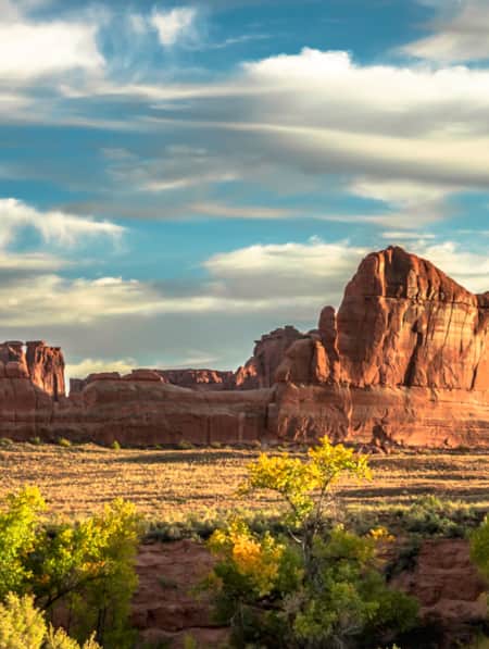
Beyond the scenery, the highway also offers a historical journey through some of Southern Utah’s fascinating history. From ancient Ancestral Puebloan dwellings (Read: The Petroglyphs of Comb Ridge) to the only vehicle crossing of the Colorado River for nearly 300 miles, you’ll experience sites that characterize the early settlement of one of the most rugged landscapes in the contiguous United States. “This region is so unique that it draws people from all over the world,” says Hannah Whitney, co-owner of Cow Canyon Coffee and Trading Post in Bluff. “People are really fascinated by the history of Bluff and the surrounding area, and we get lots of questions about it from visitors.”
Be sure and gas up your vehicle in Hanksville, as there are no services for 121 miles. Consider stopping at the renowned Stan's Burger Shak to pick up some sandwiches or burgers, which you can enjoy at Hog Springs Recreation Area (below). Stan's has been serving its famous burgers and long list of milkshake flavors to visitors and locals alike since 1984.

Completed in 1976, Utah’s Bicentennial Highway Scenic Byway runs 133 miles from Hanksville to Blanding.

Consider stopping at the renowned Stan's Burger Shak to pick up some sandwiches or burgers.

Stan's has been serving its famous burgers and long list of milkshake flavors to visitors and locals alike since 1984.
Hog Springs Recreation Area
Just 35 miles south of Hanksville, Hog Springs Recreation Area is a scenic rest stop in an area known as North Wash. This drainage, which stretches from the Henry Mountains to Lake Powell, has created a system of slot canyons that draws canyoneers from around the world. The North Wash area is so remote that many of the prominent landmarks weren’t named until after John Wesley Powell completed his exploratory trip down the Colorado in 1869 (Read: Chasing John Wesley Powell: 6 Places to Explore Utah's Green and Colorado Rivers). From the Hog Springs parking area, a wood-plank suspension bridge leads to a picnic area surrounded by red rock walls. You can also take a one-mile hike up Hog Canyon to a pool of water fed by the spring.

Pull off the road at this picnic area and take a few minutes to enjoy the sights and sounds of the canyon.
Photo: Laurie Schmidt
Hite Crossing Bridge
As you continue south from Hog Springs, the views become more dramatic, leading to one of the most impressive sites on SR-95: the Hite Crossing Bridge. This scenic steel arch bridge is the only vehicle crossing of the Colorado River between Moab (110 miles upstream) and the Glen Canyon Bridge (185 miles downstream). The modern-day bridge makes crossing the Colorado effortless, but it wasn’t always so easy to get across the river.
Back in 1946, early settler Arthur Chaffin built a ferry at the tiny settlement of Hite. Known as Dandy Crossing, it provided the only way to travel by car between Hanksville and Blanding. The Hite Ferry operated for 20 years until the waters of Lake Powell buried the town of Hite in the late 1960s.
From 1965 to the early 2000s, the area’s main draw was Hite Marina, which included a boat rental office, general store and gas station. The marina closed when low water levels in Lake Powell caused the open bay area to disappear, essentially making boat access impossible. Shortly before you reach Hite Crossing, the Hite Overlook View Area offers a distant view of the bridge and a panorama of Hite and the former marina site.

This steel arch bridge is the only vehicle crossing of the Colorado River between Moab and the Glen Canyon Bridge.
Photo: Laurie Schmidt
Fry Canyon Lodge
Just when you’ve gotten used to not seeing any structures for miles, something unexpected appears on the west side of the highway: a red brick building nestled under a high cliff. Yes, that’s really a lodge, but you won’t find any guests there today.
Fry Canyon Lodge opened back in 1955 when the area was bustling with miners who worked at a uranium mine in Fry Canyon. The remote outpost served meals in its small dining room and even had its own landing runway. It was, in every sense, the most remote motel in Utah, if not in the entire Southwest. With a clientele of hard-working miners, it’s said that the lodge could be quite a rowdy place at times.
Eventually, mining in Fry Canyon went bust, and the lodge was abandoned and fell into disrepair. In 2001, it was reopened for a few years by new owners, serving tourists on their way to/from Hite Marina and Natural Bridges. It was again purchased by new owners in 2005, but was only open for less than a year before closing permanently. Today, the building still looks much as it did during its heyday, with even the gas pumps still standing. Travelers should note that the lodge is on private property so it's best viewed from the road.

In its prime, this remote lodge served meals for those who worked at the nearby uranium mine in Fry Canyon.
Photo: Laurie Schmidt
Natural Bridges National Monument
In its remote location far removed from city lights, Natural Bridges National Monument sits under one of the darkest skies of any national park. In 2007, it was designated the first International Dark Sky Park by the International Dark-Sky Association. But what draws most people here are the park’s three mammoth natural bridges: Kachina, Owachomo, and Sipapu. You can view all three bridges from distant overlooks, or you can hike into the canyon and view them up close.
As you approach Natural Bridges via the access road from SR-95, it’s hard to believe that less than 100 years ago, it took visitors two days to get here on horseback from Blanding or Bluff. Although the monument was designated in 1908, it wasn’t until the early 1960s that Bridge View Drive and the visitor center were built. And that was thanks to one very determined man: Ezekiel “Zeke” Johnson.
Zeke Johnson was a guide who loved taking anyone he could convince to go with him on trips through the rugged landscape of the Four Corners area. When the National Park Service created the first custodian position for Natural Bridges in 1919, Zeke was the obvious choice. His mission was to make the park accessible to as many visitors as possible. In fact, he was such a strong advocate for the area’s beauty that people often referred to the three natural bridges as “Zeke’s bridges.” During his first few years at the monument, Zeke lived in his own worn-out tent and used water that had to be hauled in from Blanding. He earned a monthly salary of $1.00 during his first 12 years as custodian.
In 1929, Zeke’s efforts began to pay off when the state built a primitive dirt road from Blanding to a location near Owachomo Bridge. It was certainly an improvement over a two-day horse trip, but it still took visitors nearly all day to get there. He spent much of his time clearing debris and making sure it was passable to the adventurous souls who did make the long trek to see the bridges.
Zeke served as custodian at Natural Bridges until 1941 when he turned 71 years old, never relenting on his efforts. He once said, “I am not going to lie down until I am thrown out and I am going to keep hammering away at those in charge until I get some roads, trails, and a little cabin to live in.” He died in 1957, just a few years before construction began on Bridge View Drive and the new visitor center.

Sipapu Bridge is the largest and most spectacular of the three bridges in the monument.
Photo: Jay Dash
Comb Ridge
A major obstacle in building the road to connect Hanksville with Blanding was a formation called Comb Ridge. Known in geologic terms as a monocline, Comb Ridge is a large fold in the earth’s crust where the rock is bent in one direction. Extending for 80 miles from southeastern Utah to Kayenta, Arizona, the ridge bisects the landscape in a north-south direction. In the 1970s, engineers began the arduous task of carving a path for the highway through Comb Ridge. By blasting and excavating the rock, they cut two paths through the rock—one to accommodate SR-95, and another one on Highway 163 between Bluff and Mexican Hat. As you drive through the cut section of the ridge, notice the steep rock walls on both sides to get a sense of what an engineering feat this was.

The scenic route along Highway 95 cuts through the steep walls and jagged rocks of Comb Ridge.
Photo: Laurie Schmidt
Butler Wash
Less than three miles after crossing Comb Ridge, watch for a signed turnoff for the Butler Wash Interpretive Trail. The entire Comb Ridge area is a treasure trove of archaeological structures dating back to the Ancestral Puebloans, who inhabited the region until about 1300 AD. These sites are now protected as part of Bears Ears National Monument. Although many structures in this region are remote and difficult to reach, the Butler Wash Trail is a short hike that leads to a viewpoint of ancient dwellings tucked into a cliffside alcove. Built around 1200 AD, the site includes several structures and four kivas. The one-mile hike (roundtrip) is easy to moderate and involves crossing an area of slickrock following rock cairns.
Eleven miles from the Butler Wash Trail, SR-95 ends and intersects with Highway 191. From there, you can continue a few miles north to Blanding or 22 miles south to Bluff. With a full day of driving, hiking, and sight-seeing, you’ll likely be looking for some food options at the beginning or end of your day.

The Butler Wash Trail is a short hike that leads to a viewpoint of Ancestral Puebloan dwellings tucked into a cliffside alcove.
Photo: Sonya Doctorian

What's Nearby
-
Bears Ears National Monument
A pair of towering buttes stand against beautiful scenery. The twin buttes are so distinctive that in each of the native languages of the region their name is the same: Hoon'Naqvut, Shash Jáa, Kwiyagatu Nukavachi, Ansh An Lashokdiwe, or in English: Bears Ears.
-
Natural Bridges National Monument
As you start to descend toward Natural Bridges National Monument, the groundcover becomes more luxuriant and the trees taller. You cannot see the chaotic landscape of Natural Bridges from the highway– it is only revealed once inside the park.
-
Glen Canyon and Lake Powell
Glen Canyon National Recreation Area offers more than 1.2 million acres of unparalleled opportunities for land- and water-based recreation.
-
Canyonlands National Park
Canyonlands is home to many different types of travel experiences, from sublime solitude in the more remote stretches of the park to moderate hikes through the Needles district to the opportunity to create your own version of one of the West's most photographed landforms, Mesa Arch.
-
Blanding
Blanding blends cowboy culture with Native American and prehistoric history. The Edge of the Cedars State Park & Museum features the largest display of Ancestral Puebloan artifacts in the Four Corners region, and the Dinosaur Museum, a federal fossil repository, showcases life-size models, skeletons, and a 250-million-year-old petrified tree.
Stories To Inspire Your Travel
-

The All-American Road: Scenic Byway 12
This is 122.863 miles (to be exact) of pure driving bliss. Welcome to Utah’s Scenic Byway 12, a designated All-American Road.
-
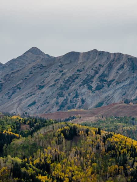
See the Fall Leaves Near Utah's National Parks
Sure, any of Utah’s Mighty 5 national parks are spectacular year round — covered in snow, peppered with spring wildflowers, and baked in sunshine. But find them exponentially special when the changing fall leaves are in juxtaposition to the immaculate red rock cliffs.
-
Tooele? Tuilla? The Fascinating History of this Utah Town
While the town of Tooele has a fascinating story to its name, the best part about one of Utah’s original counties is its history.
-
Explore Antelope Island's Fielding Garr Ranch
Volunteers Beth and Dennis Simonsen show visitors around the historic Fielding Garr Ranch complex on Antelope Island State Park in Northern Utah.
-
Moonscapes, Marscapes and More
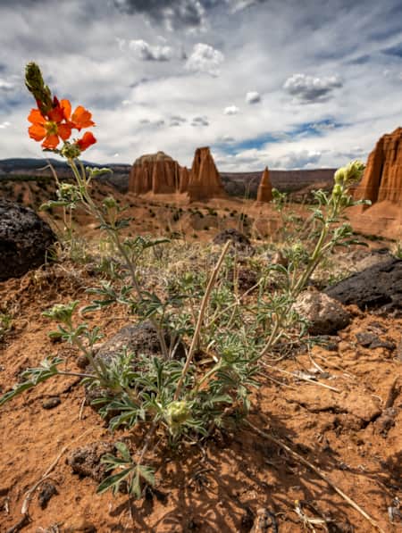
If you want to know what Mars looks like — then the dramatic terrain of Capitol Reef National Park and the surrounding lands are a good place to start.
-
Hole N'' the Rock
Your road trip in Moab might call for a stopover at the famous Hole N” The Rock.
-
Kiva Koffeehouse
Kiva Koffeehouse is a welcome stop for fresh food and espresso tucked on a hillside down a dirt driveway near milepost 73 on the scenic byway.
-
A Visitor's Guide to Zion's Kolob Canyons
In the Kolob Canyons section of Zion National Park, you’ll find a scenic wonderland with an adventure for everyone. Learn more about this unforgettable attraction and plan a visit.
-
11 Utah Scenic Byways for Leaf Peeping
Explore 11 Scenic Drives in Utah for some serious leaf peeping. Utah is one of the best places to see fall foliage, visit great attractions, events and festivals.
-
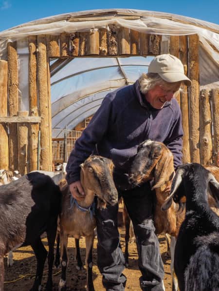
Mesa Farm Market
Best local shops and healthy eats near Moab and Capitol Reef. Try the goat cheese!
-
Ancient Pictographs, Petroglyphs and Timeless Mysteries
Exploring Horseshoe Canyon isn’t for everyone. First of all, the effort to get there is an adventure in itself, but those efforts make the reward — namely, the chance to see up close some of the most significant pictograph panels in North America — even more noteworthy.
-
Movies Filmed in Utah: Plotting a Cinematic Drive-Through
Follow a Germany-based film enthusiast on an extended road trip to discover the rich history of Utah cinematography.
-
Year-round Vibrance on the Nebo Loop Byway
A National Scenic Byway that Enchants at High Elevations, by Road or Trail
-
Serenity Found in Torrey and Capitol Reef’s Cathedral Valley District
Taking Southern Utah’s remote, less-traveled path in Capitol Reef's Cathedral Valley District to nurture your body, mind and spirit.
-
Utah’s Unexpected Pit Stops
Here are 11 mini-adventures to check off your list next time you’re road-tripping through Utah.
-
Why You Should Ditch I-15 on Your Way to Zion
If you’re not in a rush to get to Zion National Park from Northern Utah, consider taking a long, meandering route that features historic sites, adventure breaks and out-of-this-world scenery. Hop off I-15 and take Highway 89 and four nearby scenic byways to see and do as much as you possibly can on your way to Zion.
-
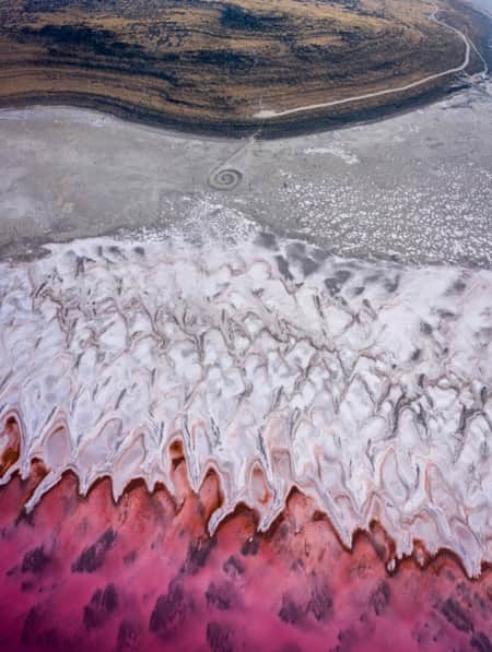
The Spiral Jetty, Utah’s Most Iconic Land Art Sculpture, Keeps Drawing a Crowd
In April 1970, it took six days, 625 man-hours, 292 truck-hours, $9,000, and 6,500 tons of basalt, limestone and mud for Robert Smithson to construct the Spiral Jetty. His work still stands today. Visit and be inspired by this iconic piece of Utah's land art.
-
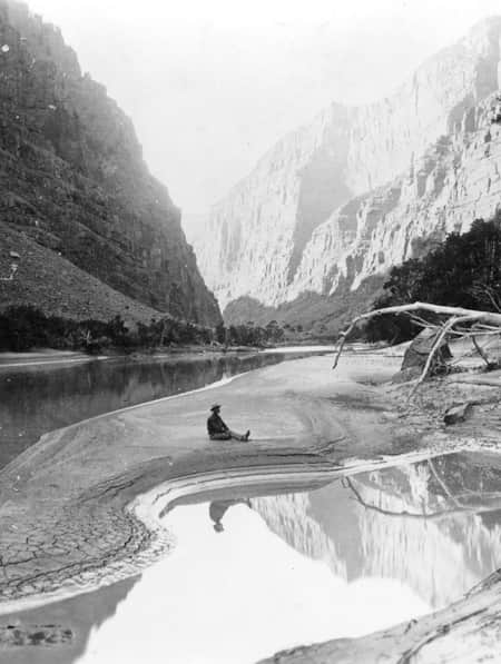
Chasing John Wesley Powell: Six Places to Explore Utah's Green and Colorado Rivers
One hundred and fifty years ago a one-armed Civil War veteran set off with nine mountain men on a scientific expedition to map one of the last blank spaces left on the U.S. map: The Green and Colorado rivers. Much of the river remains wild today. Follow Powell's journey here.
-
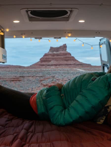
A Van Lifer’s Guide to Responsible Travel in Southern Utah
When Utah’s dirt roads are calling you, it’s time to plan your van life road trip. Here’s what you need to know to travel safely, support Utah’s rural communities, and help preserve the delicate desert landscapes.
-
Winter Road Trip: Where to Stay, Hike and Eat When Traveling from Capitol Reef to Bryce Canyon
Need winter break ideas? Take a road trip from Capitol Reef to Bryce Canyon and enjoy the best of Utah landscapes during its quiet season.
-
Touring the Dinosaur Diamond Prehistoric Highway
Discover dinosaurs in Utah. The Dinosaur Diamond Prehistoric Highway is one of the best places to see dinosaurs in Utah.
-
An Adventure Guide to Harts Draw Road
Winding up into the Abajo Mountains of southeastern Utah and down into sprawling red rock canyons, the 18-mile Harts Draw Road offers the perfect mixture of snow and sand, scenery and solitude.
-
An Old Favorite Fishing Hole at the Flaming Gorge Reservoir
Visit Utah columnist Dan Potts takes us to his "secret" fishing hole on Utah's Flaming Gorge Reservoir, one of the world's most diverse fisheries set among the brilliant red rock walls of Red Canyon in the easternmost corner of the state. Along the way, Dan takes us through some of his favorite landscapes on the drive to and from Salt Lake City.
-
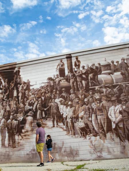
Arrive by Train
Follow author Tim Sullivan and his eight-year-old daughter as they travel by train, bus and bike on a "pilgrimage" to Golden Spike National Historic Site.
-
Be Prepared for the Southern Utah Backcountry
Prepare for a trip out into Utah's rugged red rock backcountry by learning as much as possible about the area before heading out. Stop by a ranger station to educate yourself and pick up necessary permits. Always practice good backcountry ethics and proper safety techniques for a safe and enjoyable adventure.