Bears Ears National Monument
Know Before You Go
Getting to Bears Ears
Drive time from:
- Salt Lake City International Airport — Five hours
- Moab — 75 minutes (Bluff, Blanding and Monticello are the closest cities)
- Monument Valley — 30 minutes
- Grand Junction Regional Airport, Colorado — Three hours
- Four Corners Monument — One hour
Visitor Information
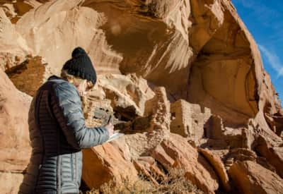
There is no official visitor center in the area, but these resources will help you prepare. We recommend every trip to the area start with a visit to the Edge of the Cedars State Park Museum in Blanding or the Bears Ears Education Center in Bluff for helpful context and resources.
Bears Ears National Monument Day Hiking passes are required year-round for day hiking in the Bears Ears National Monument, visit recreation.gov to obtain a pass. If you go, consider traveling with a guide. There are many native-owned guide companies and outfitters in the region.
Monument Designation
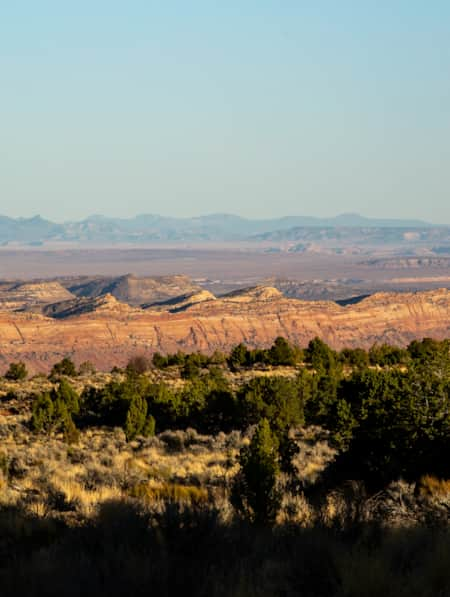
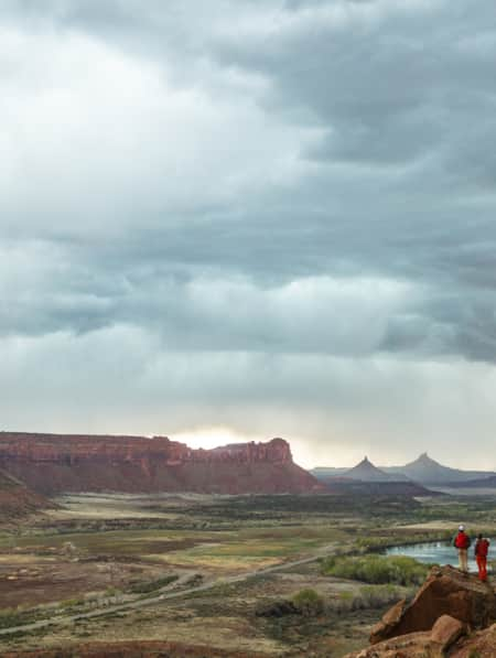
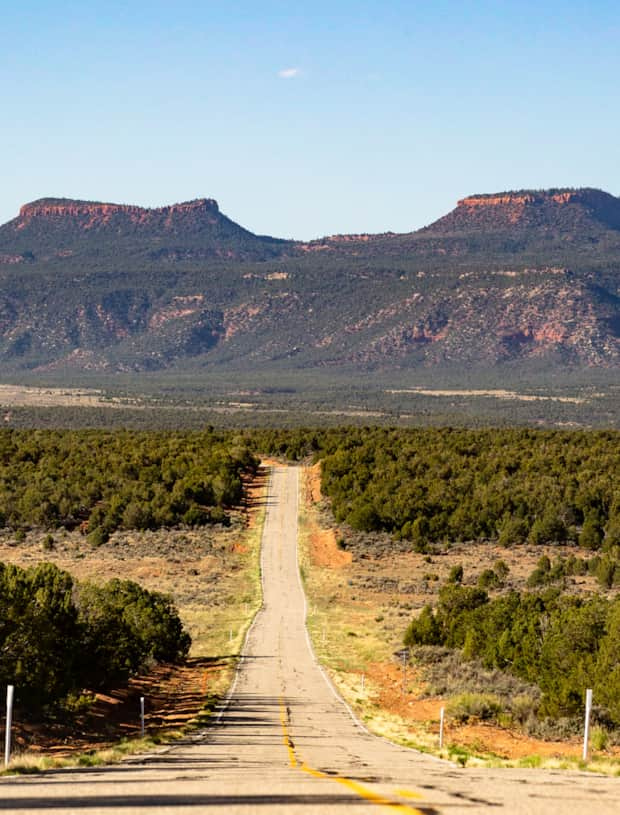
In 2021, a presidential proclamation modified the boundaries for Bears Ears National Monument to include 1.36 million acres of public lands administered jointly with the BLM and U.S. Forest Service.
Basecamp Cities
-

Blanding
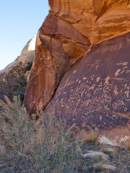
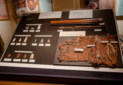
Blanding blends cowboy culture with Native American and prehistoric history. The Edge of the Cedars State Park & Museum features the largest display of Ancestral Puebloan artifacts in the Four Corners region, and the Dinosaur Museum, a federal fossil repository, showcases life-size models, skeletons, and a 250-million-year-old petrified tree.
-

Bluff
Rich in human and natural history, Bluff is a central point along the Trail of the Ancients National Scenic Byway. It is a gateway to Monument Valley, Bears Ears National Monument, Valley of the Gods and Hovenweep National Monument.
-

Moab
Moab is surrounded by a sea of buckled, twisted and worn sandstone sculpted by millennia of sun, wind and rain
-

Monticello
The southeastern Utah town of Monticello lies on the sheltered eastern slope of the Abajo Mountains, overlooking a maze of sandstone canyons and plateaus.
What's Nearby
-

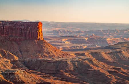
Canyonlands National Park
Canyonlands is home to many different types of travel experiences, from sublime solitude in the more remote stretches of the park to moderate hikes through the Needles district to the opportunity to create your own version of one of the West's most photographed landforms, Mesa Arch.
-

Edge of the Cedars State Park Museum
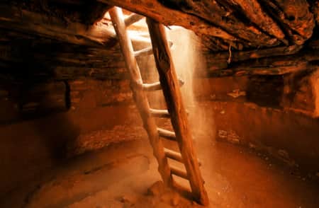
Edge of the Cedars State Park Museum in Blanding, Utah, is the site of a prehistoric Native American village. Explore history here!
-

Four Corners Area
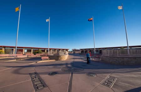
Visit the Four Corners area of Utah and learn about each of the Four Corners states--Arizona, New Mexico, Colorado and Utah. Plan your visit now!
-

Goosenecks State Park
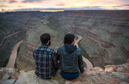
Located north of Mexican Hat, Goosenecks State Park is an easy-to-get-to area with a million-dollar view. The San Juan River begins in the mountains of Colorado and travels to its junction with the Colorado River at Lake Powell.
-

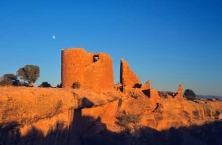
Hovenweep National Monument
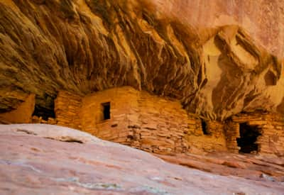
Hovenweep, the Ute Indian word meaning ‘deserted valley,' stands as a sentinel of Ancestral Puebloan ruins in a landscape of sage and juniper. Info from VisitUtah.com.
-

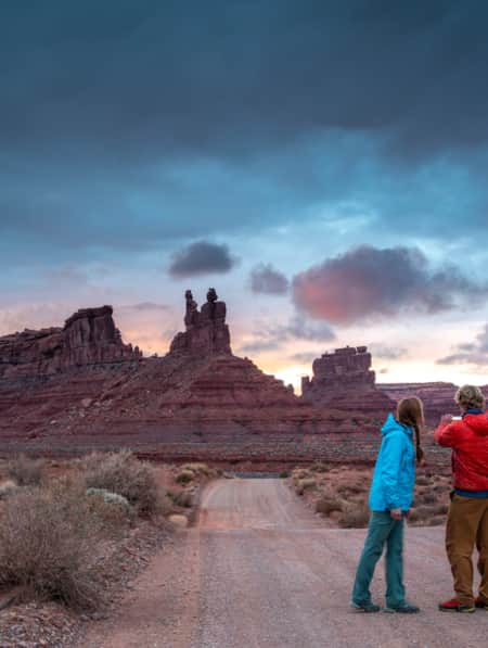
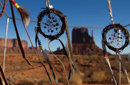
Monument Valley Navajo Tribal Park
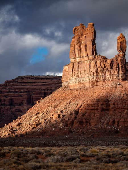
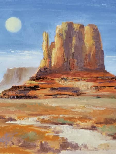
Monument Valley Navajo Tribal Park features towering sandstone rock formations, sculpted over 300 million years, that soar 400 to 1,000 feet above the valley floor.
-

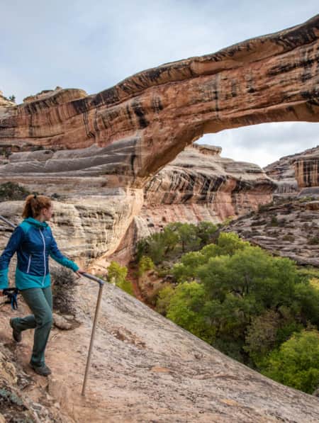
Natural Bridges National Monument
As you start to descend toward Natural Bridges National Monument, the groundcover becomes more luxuriant and the trees taller. You cannot see the chaotic landscape of Natural Bridges from the highway– it is only revealed once inside the park.
