Insider's Guide to Hiking Rainbow Bridge National Monument
Feel a world apart and make the triumphant trek to one of Utah's natural bridges.

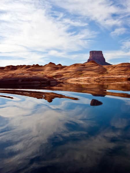
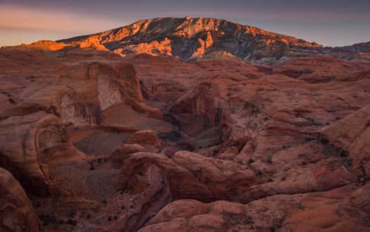
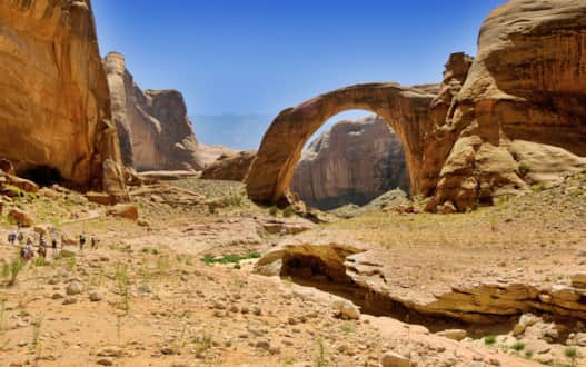
Rainbow Bridge, the sixth-longest natural bridge in the world, is an elegant arch vaulting 290 feet over the dry bed of Bridge Creek in Rainbow Bridge National Monument, a small parkland tucked in a side canyon on the south coast of Lake Powell National Recreation Area. The iconic bridge, chiseled from Navajo sandstone, was once one of America’s most remote natural wonders, reached only by a multi-day hike or horseback ride down twisting canyons from Navajo Mountain. With the creation of Lake Powell from the construction of Glen Canyon Dam in 1964, Rainbow Bridge became accessible to the masses via a tour boat ride to a dock and short amble up a trail. For extremely well-prepared and thoughtful adventurers who want an unforgettable journey, there are two rugged trails that trek through squiggly canyons, and some of the wildest and least accessible country left in the lower 48 of the United States.
A beautiful view of Rainbow Bridge with Navajo Mountain illuminated in the distance.
Photo: Mike Reyfman
Discovery of Rainbow Bridge
While Native Americans, including Navajos who call Rainbow Bridge Nonnezoshe or “rainbow turned to stone,” regard the stone bridge as a sacred site, the graceful span wasn’t seen by Anglos until 1909 when two separate parties finally found the mythic bridge. The expeditions, led by Byron Cummins from the University of Utah and government surveyor William Douglass, joined forces to find the hidden bridge but remained in competition. After spotting Rainbow Bridge, the two leaders spurred their horses to be the first to ride beneath the span. However, John Wetherill, one of the guides and an early explorer at Mesa Verde, defused the competition by beating them to the arch. The following year the arch was protected in the 160-acre Rainbow Bridge National Monument.
Easy Hike to Rainbow Bridge from Boat Dock
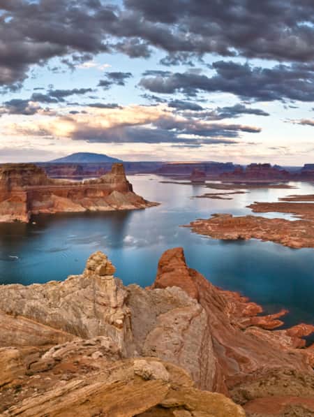
Rainbow Bridge can be reached by three trails. Over 200,000 people visit the national monument every year and all but a few hundred take a seven-hour boat ride on a private, rental, or tour boat across Lake Powell of Glen Canyon National Recreation Area to a floating dock in the flooded canyon west of Rainbow Bridge.
The all-day boat tour travels over 50 miles across the lake from Wahweap and Bullfrog Marinas to the dock, where an easy 0.75-mile trail threads up the twisting canyon to a spectacular overlook near the bridge. The trail length varies, depending on water levels in Lake Powell. Despite development and the ease of access, Rainbow Bridge remains a culturally significant site for Native Americans, and signs ask hikers not to venture beyond the viewpoint to the formation. There are no services at the national monument except the dock and toilets.
Despite development and the ease of access, Rainbow Bridge remains a culturally significant site for Native Americans.
Photo: KCT
Two Backcountry Trails to Rainbow Bridge
Hardy hikers reach Rainbow Bridge by following two rough trails that begin from remote trailheads on the flank of 10,346-foot Navajo Mountain, a huge rounded peak on Navajo Tribal Lands in Southern Utah. The strenuous Rainbow Bridge North and South Trails twist 17.5 and 16 miles respectively down deep canyons walled by dazzling cliffs, across arid benches, and through an uninhabited wilderness of bare rock. Most hikers do the round-trip trek in three or four days, stopping overnight in remote campsites. Hikers need to carry detailed topo maps and have route-finding skills to follow the rugged trails. Water is scarce so plan on carrying plenty.
Just as important, since most of the hike traverses Tribal Lands, backpackers must not only follow Leave No Trace principles but also respect the beliefs and traditions of the Navajo Nation as guests in their place.
Rainbow Bridge North Trail
The Rainbow Bridge North Trail, beginning at a trailhead near the old Navajo Mountain Trading Post on the north side of Navajo Mountain, winds 17.5 miles through several canyons before following cliff-lined Rainbow Bridge Canyon to the iconic natural bridge. The scenic trail, traversing the rugged landscape, is unmarked and hard to follow in places. Small cairns or rock stacks usually mark the trail, although the first few miles are crossed by deer trails which can be confusing. It’s best to bring USGS topo maps and plot strategic waypoints along the trail with a GPS unit. Allow two to three days to hike the trail round trip.
Rainbow Bridge South Trail
The Rainbow Bridge South Trail starts at a trailhead by the ruins of the abandoned Rainbow Lodge and Trading Post on the southern edge of Navajo Mountain and a half-mile south of the Utah-Arizona border. The unmaintained, 16-mile trail dips across three canyons to Yabut Pass, then steeply descends into Cliff Canyon and squeezes through narrow Redbud Pass to Rainbow Bridge Canyon. Plan on two or three days to make the 32-mile round-trip hike, which includes about 8,400 feet of elevation gain, more than the North Trail. The trail is for experienced hikers only since it’s difficult to follow in places and occasionally marked with stone cairns and short metal pipes. No water is found on the first nine miles of the trail, so carry plenty to drink, particularly on warmer days.
Hiking Seasons and Logistics
The National Park Service advises hiking the trails during the spring and autumn when temperatures are moderate, and precipitation is low. Summer days are hot, water is hard to find and there’s a high risk for flash flooding after heavy thunderstorms. Winters are generally cold and snowy. And, again, this experience is not for casual or inexperienced hikers.
Since both trails are located on Navajo lands, a permit is required for hiking and camping, though no camping is allowed in Rainbow Bridge National Monument. You can obtain a permit from the Navajo Nation Parks and Recreation Department in Window Rock, Arizona at 928-871-6647. The National Park Service recommends not parking at either trailhead but instead hiring a local Navajo to drop you off and pick you up after the hike.
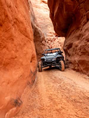
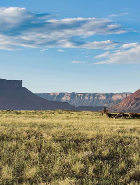
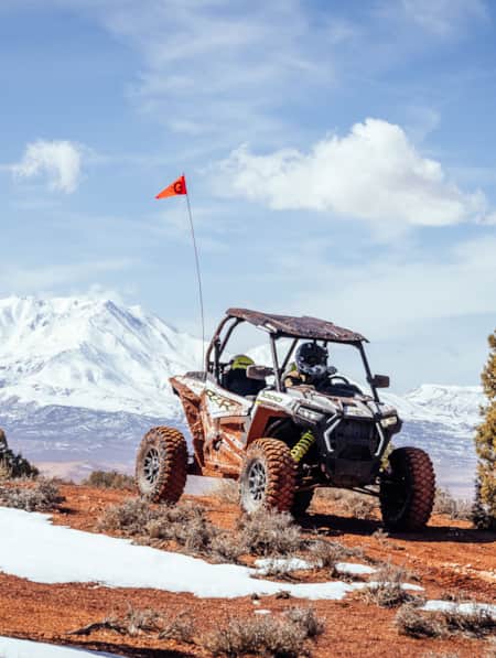
Blazing Sandals in North Lake Powell
It’s not unreasonable or out of the ordinary to go UTVing, paddleboarding and canyoneering all in the same day (or weekend) at Lake Powell.
What's Nearby
-

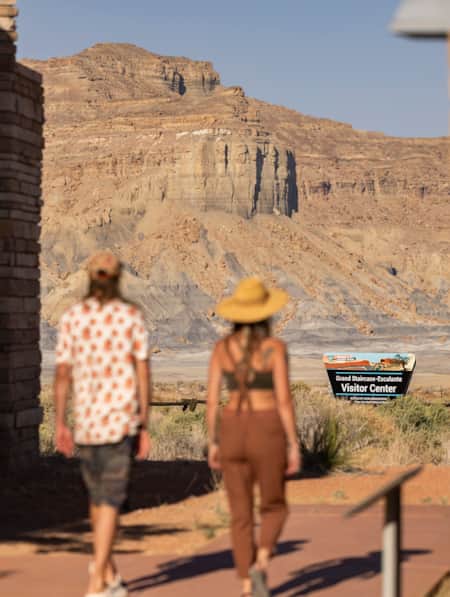
Grand Staircase–Escalante National Monument
Grand Staircase-Escalante is a vast and rugged, yet easily accessible national monument.
-
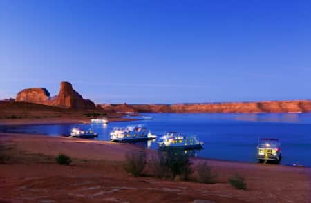
Bullfrog Marina
Of the five marinas on Lake Powell, Bullfrog Marina is the closest to the Salt Lake City metropolitan area, and it offers the most amenities outside of Wahweap.
-
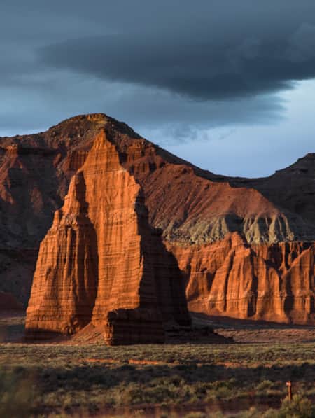
Kodachrome Basin State Park
Kodachrome Basin covers 2,240 acres of canyon country and is surrounded by Grand Staircase–Escalante National Monument on three sides.

Discover More
-
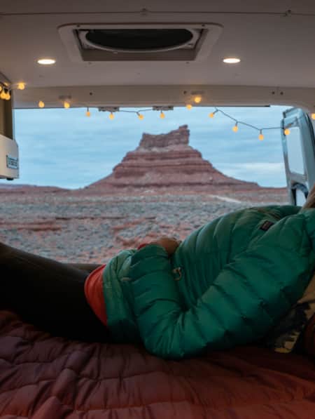
A Van Lifer’s Guide to Responsible Travel in Southern Utah
When Utah’s dirt roads are calling you, it’s time to plan your van life road trip. Here’s what you need to know to travel safely, support Utah’s rural communities, and help preserve the delicate desert landscapes.
-
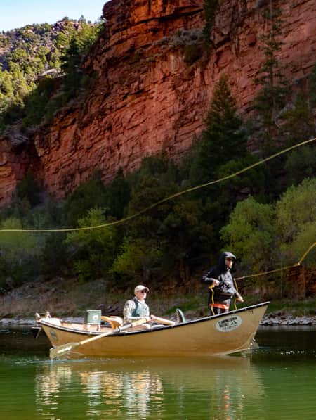
Angling Secrets: How and Where to Catch Fish on Lake Powell
Read expect advice on when and where in Lake Powell to get the prized fish you're chasing.
-
Bicentennial Highway 95: A Historic Utah Road Trip
One of the state’s most remote stretches of highway is State Route 95 (SR-95), which runs for 126 miles between Hanksville and Blanding.
-
Blazing Sandals in North Lake Powell
It’s not unreasonable or out of the ordinary to go UTVing, paddleboarding and canyoneering all in the same day (or weekend) at Lake Powell.
-
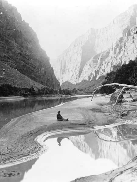
Chasing John Wesley Powell: Six Places to Explore Utah's Green and Colorado Rivers
One hundred and fifty years ago a one-armed Civil War veteran set off with nine mountain men on a scientific expedition to map one of the last blank spaces left on the U.S. map: The Green and Colorado rivers. Much of the river remains wild today. Follow Powell's journey here.
-
Finding Strength and Inspiration Deep in the Utah Desert
How a series of hiking and camping trips in Utah’s parks and wilderness put Elisabeth Brentano on a transformative journey from urbanite to nature lover.
-
HBO's Westworld. See it now, in Utah.
Where is Westworld filmed? Much of Castle Valley is actually located in Utah. Learn more about the setting of your favorite television series.
-
How to Slow Travel in Utah
Avoid the mad scramble and consider slow travel as a better approach to your Utah trip.
-
Kayak and Stand Up Paddleboard Lake Powell
Slip into the mighty Lake Powell with a personal, self-propelled watercraft and have a whole different experience than the boats flying down the lake.
-
Lake Powell Trash Boat
Attention good samaritans: Sign up for the Trash Tracker, a houseboat on Lake Powell, and help clean up the debris that has collected on the lake’s shores.
-
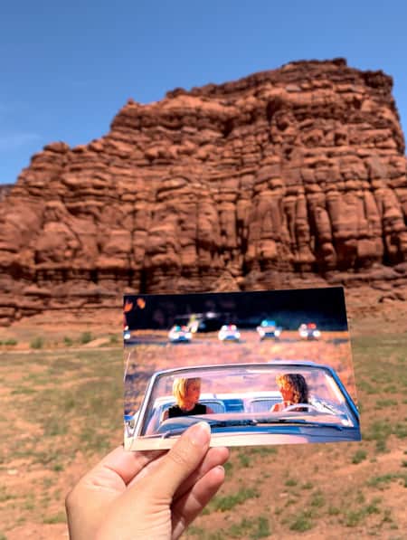
Movies Filmed in Utah: Plotting a Cinematic Drive-Through
Follow a Germany-based film enthusiast on an extended road trip to discover the rich history of Utah cinematography.
-
Off-Season Off-Roading in Ticaboo
Familiar freedoms in a new kind of winter wonderland.
-
San Juan and the Trail of the Ancients
At almost 8,000 square miles, San Juan is Utah's largest county, nearly the size of New Jersey. Between the Needles district of Canyonlands and Four Corners there are vast lands of incredible wilderness, national forest, the Monument Valley Navajo Tribal Park and beautiful rivers and...
-
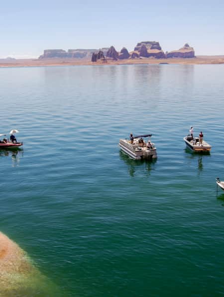
Scenic Boat Tours of Lake Powell
Lake Powell boat tours are one of the best ways to explore the breathtaking sights of this man-made wonder. Learn all you need to know to book your own tour!
-
Southwestern Utah's Legendary Panoramas
Wondering where to take pictures in Utah? Our guide to the most breathtaking Utah panoramas is only a click away. Plan a photographic getaway today!
-
Turning the Lens on a Wintry Southern Utah
Discover some of the most picturesque places to photograph in Southern Utah, and learn some tips for how to shoot and travel responsibly.
-
Where To Fish in Utah This Spring
We've got your Northern and Southern Utah recommendations for where to fish this spring.
-
Why You Should Ditch I-15 on Your Way to Zion
If you’re not in a rush to get to Zion National Park from Northern Utah, consider taking a long, meandering route that features historic sites, adventure breaks and out-of-this-world scenery. Hop off I-15 and take Highway 89 and four nearby scenic byways to see and do as much as you possibly can on your way to Zion.