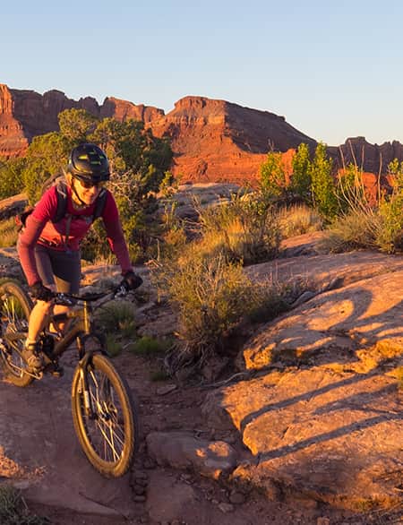
Mountain Biking the Wood Hill Trail System
A Classic Ride in Price’s Backyard

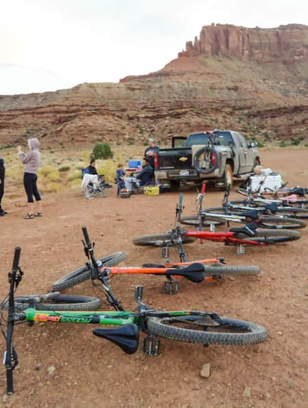
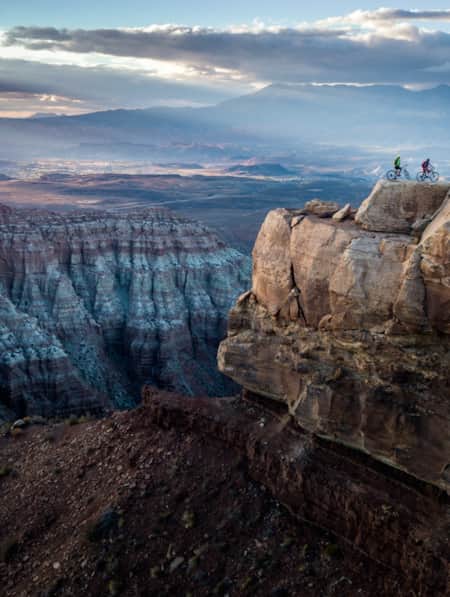
Wood Hill makes for a perfect place to stop and ride when driving between Moab and Salt Lake City.
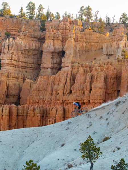
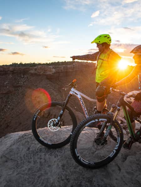
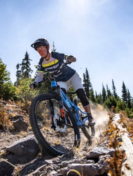
Photo: Jo Savage
Trail Guide
Difficulty: Intermediate
Distance and elevation gain: 6.2 miles and 470 feet
Trail type: Soft dirt and sandstone, rocky singletrack
Multi-use: Yes — hiking, mountain biking, horseback riding
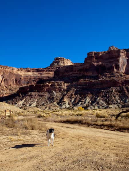
Dog: Yes — on-leash
Fees: Free
Seasonality: Best seasons are late spring and fall
Bathroom: Toilet at the trailhead
Where to park: There's a parking lot at the trailhead.
Trailhead GPS coordinates: 39.622783, -110.813517
Driving through downtown Price, I pick up hints that I’m bound for a distinctly local experience. I leave Main Street and continue to the edge of a quiet residential neighborhood, where my GPS prompts me to turn right onto an unsigned dirt road. A tiny metal signpost with a bike icon and the words “Trail System” assure me that my GPS isn’t leading me astray. The road rises steeply onto the mesa and leads to a gravel parking area after about a mile. I spot one other truck and an information kiosk in the corner of the lot. This must be the place.
As I start unloading my bike and my dog from the van, I notice a woman walking toward the truck. She gives me a nod and a friendly wave.
“You just passing through?” she asks, glancing at my California license plate and probably wondering how I found this place. Passing through is right. The small town of Price marks a halfway point on my drive from Salt Lake City to Moab — the ideal spot to squeeze in a few miles of riding.
Terry, a Price local who regularly comes out here to ride bikes and walk her dog, is quick to offer me a rundown of the Wood Hill trail system and describe a few options for catching a singletrack called Luke’s Trail and making a nice loop out of it.
“Is it fine to have my dog on the trail with me?” I ask.
“Yeah, just make sure he doesn’t get in anyone’s way. This is busy hour, you know,” she says with a grin and not a hint of sarcasm as she scans the parking lot, empty aside from her truck, my van, and two more women now walking off the trail.
We shake hands and I pedal off, repeating her directions in my head to commit them to memory: head down Wood Hill Road the same way I came in for half a mile, turn right at the fork toward the old parking area, and from there I’ll see the trailhead for Luke’s Trail. Sure enough, Terry was spot on.
The Ride, Part 1: Luke’s Trail to Kenilworth Road
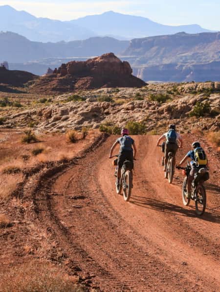
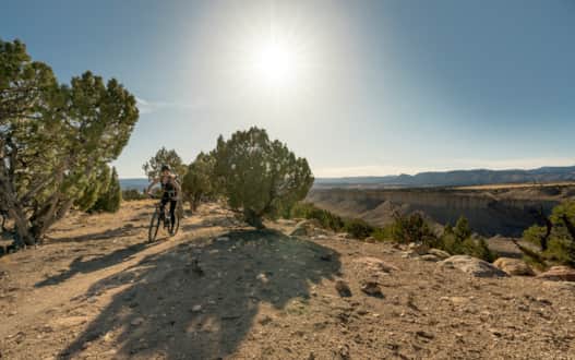
The fact that the Wood Hill trail system is a local’s spot with a scant quantity of visitors says nothing about the quality of this place. The 20 miles of trail wind through peaceful desert landscape atop a mesa, with views of steep canyons below, the Book Cliffs lining the horizon, and snow-capped mountains to the west.
Just as Terry had described, the first 1.5 miles of Luke’s Trail offer mellow riding on soft dirt singletrack, suitable for any beginner. I’m all smiles as I flow through the gentle curves with the scent of juniper and sagebrush in the air, confirming that I am indeed in the desert. The only sounds filling the air are my tires rolling over the dirt and the jingling of my dog’s tags as he trots behind me.
Once I reach the intersection with the Solis Trail, Terry’s information yet again rings true: This is where the slightly more technical section begins. As a fairly new mountain biker, I walk my bike through short rocky sections whenever I misjudge the line. Luckily, Terry was also right about this being busy hour on the trail: My dog and I are joined only by a few jackrabbits darting through the sagebrush.
After about three miles, Luke’s Trail intersects with Kenilworth Road (unsigned). Beginners and early-intermediate riders can call it a day here, choosing to reverse the route or take a right on this road for a straight shot back to the parking lot. Terry had recommended this option to me, but also mentioned the possibility of continuing on the singletrack to make a bigger loop.
The Ride, Part 2: Luke’s Trail to IMBAtween, Therapy and SmoJoe’s
At the trailhead, I planned to go for the shorter, 6-mile loop option, but after a fun time practicing my skills on the tougher sections of Luke’s Trail, I opt to make a longer loop by linking up a few more intermediate runs. After crossing Kenilworth Road, Luke’s Trail continues for 0.3 mile, where it leads straight into IMBAtween Trail. IMBAtween features intermediate riding through the pinyon pine and juniper trees on moderately technical, rocky singletrack.
After 0.7 mile, IMBAtween leads directly into the next intermediate trail, Therapy. This section rolls through less forested areas with some exciting dips that make for the steepest portions of this overall loop.
While I feel a little tired after walking the steep bits of IMBAtween and Therapy, I reach the SmoJoe’s Trail, where views along the mesa’s edge inspire me to keep savoring this ride for what it is: A chance to explore a seriously-impressive desert setting in central Utah without the crowds. SmoJoe’s skirts the mesa rim for 1.1 miles before intersecting with an unmarked doubletrack road. I take a right onto the road and in about 0.3 mile, end up back at the parking lot — just in time to catch the golden hour light glossing over the mountains.
As I load my bike back into the van, a new truck joins me in the parking lot with three bikes on the back rack. Busy hour indeed.
Planning Tips and Logistics
-
Take a look at the map in the parking lot and make your own adventure out of Luke’s Trail — there are several other options for loops and out-and-backs of varying length.
-
You can ride these routes clockwise or counter-clockwise.
-
The parking lot has a toilet, but no drinking water.
-
Make a pitstop at Sherald’s Drive-In after hitting the singletrack. Unfussy diner eats and classic frosty cones are calling.
Discover More
-

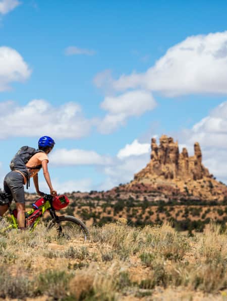
Bikepacking through Time in the San Rafael Swell
We're miles away from civilization here in southeastern Utah’s San Rafael Swell, and we carry everything we need on our bikes. This is the type of adventure I've longed for, a trip that reminds us of our self-worth, resilience, and how little we actually need to survive.
-
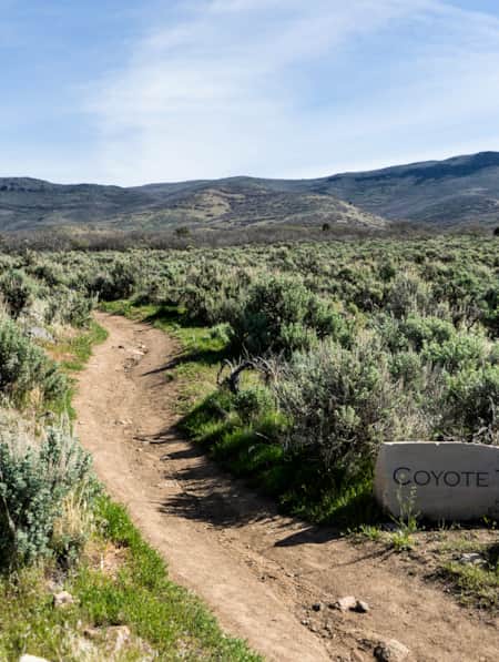
The Coyote Canyon Loop
An easy 20-minute trip south from Park City, the Coyote Canyon Trail is a gorgeous 20-mile loop that undulates through the sprawling expanses of Heber Valley and showcases some of its best features along the way.
-
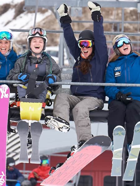
Spreading the Joy of Adaptive Recreation
Meet three National Ability Center staffers who live outdoor adventuring.
-
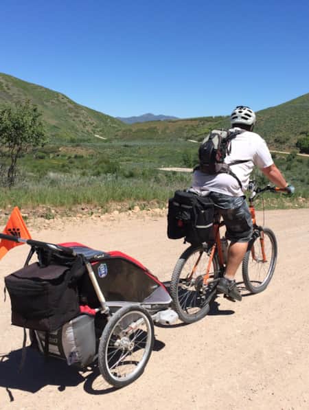
A Family Bike Tour of Salt Lake’s East Canyon
East Canyon has always been a path for travelers, from the Donner Party to Brigham Young to the Pony Express. In this modern-day tale of travel, a family of three takes on East Canyon by bicycle for a weekend camping trip. They discover historical markers, swimming spots, and lots of ice cream.
-
Moab's Singletrack Renaissance
Moab isn’t just for burly Slickrock riders anymore. In the last few years, local groups have established dozens of miles of new mountain bike trails.
-
6 Steps to a Family MTB Trip on Canyonlands' White Rim
Want to take the family mountain biking on the White Rim Trail? Tackle 100 miles of biking and three days of backcountry camping in Canyonlands with the kids.
-
A Local’s Guide to Logan: Northern Utah’s Outdoor Adventure College Town
Logan is teeming with some of the best arts, food and outdoor adventure opportunities in the state. Whether you’re passing through or just looking for new places to explore, here are some of the best ways to experience Logan.
-
A Quick and Dirty Guide to Brian Head Area Mountain Biking
Whether you’re visiting the area for Brian Head’s seemingly endless bike options or making it part of a multi-stop Southern Utah adventure (Cedar Breaks National Monument is just five miles away), it’s a must-see for bikers of all abilities. Here’s what you need to know to get started.
-
Bikepacking Across the Aquarius Plateau
A 5-night bikepacking trail has opened up a beautiful swath of the Southern Utah landscape. Following trails from Brian Head to Boulder, riders can experience long days in the saddle, and then recuperate in backcountry huts stocked with creature comforts.
-
Mission to Mars: Riding Gooseberry Mesa
You haven’t truly ridden a mountain bike until you’ve visited the stunning slickrock of Gooseberry Mesa. Learn more about this spectacular Utah trail.
-
Utah's Outdoors Are Wide Open for All Abilities
Utah’s National Ability Center is known for changing lives through its adaptive recreation programs. Truth is, just setting foot on the center’s 26-acre ranch can feel transformative.
-
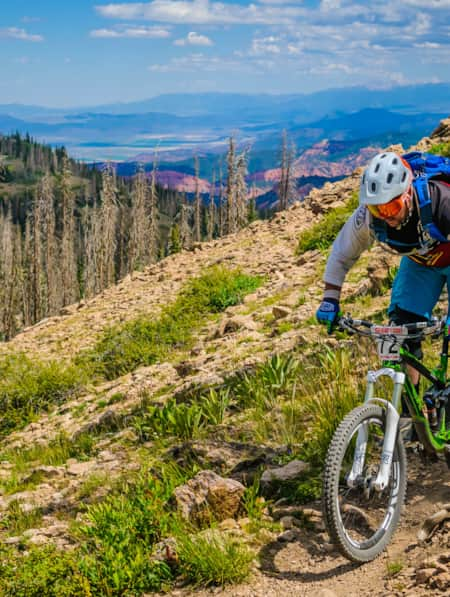
A High Elevation Southern Utah Mountain Bike Adventure
Mountain biking in Southern Utah usually inspires visions of red rock destinations such as Moab and St. George. But as the heat of summer kicks in and the triple digit temps become more frequent, heading south to ride may seem out of reach. Fear not my friend, as there are some riding destinations within Southern Utah, where the elevation will keep you cool.
-
Visions of Grandeur: Heaven and Hell on Two Wheels
The story of a women’s bikepacking trip unspoils 250 miles of the majesty of Bear Ears country, including three national monuments, one national recreation area and a national park.
-
Seven Must-Ride Mountain Biking Trails in Utah
To help you plan a Utah mountain biking trip, we've assembled a list of seven of Utah’s best mountain biking trails followed by a roundup of Utah’s best fat-tire destinations.
-
Ridin' Greater Zion
Southeastern Utah might be the state’s hidden gem of mountain biking. Learn about the top mountain biking trails in this area and plan a getaway you’ll never forget.
-
Dog-Friendly Utah: The Road to Mighty
Want to bring your furry friend on your next vacation? Utah is home to several great dog-friendly national parks and other fun destinations. Check it out and plan your trip!
-
How to Bikepack: Pro Tips for Planning a Multi-day Backcountry Ride
Want to learn how to bikepack? Check out these tips and bikepacking gear list from veteran rider Kurt Gensheimer and plan your own Utah bikepacking trip!
-
Knobby Tired Nomads: Bikepacking the Utah High Country
If you’re into bikepacking, Utah is a place you’ll want to check out. Read about a self-supported tour of Utah’s backcountry here, and start planning your trip.
-
Wild Heber: Close-to-Home Adventure
Just 45 minutes from Salt Lake City, Heber Valley’s state parks and national forest lands offer a world of adventure. Hike, bike, camp, kayak, watch wildlife and reel in blue-ribbon trout while learning about nature and how to protect it.
-
Find a Winter Refresh in a Utah State Park
The best Utah state parks will entice you with ice fishing, white sand and snow-dusted scenery. Take a winter break to refresh with a visit to a few of these places.
-
A Guided Ride on the Rolling Slickrock of Gooseberry Mesa
Utah resident and tour guide Katharina Merchant shares her "backyard" mountain biking
-
The Complete Winter Camping Packing List for Staying Warm in Southern Utah
For most travelers, Southern Utah winters prevent comfortable camping, and occasional snowfall can make outdoor adventure a little more challenging. With a little extra planning, good layers, and the right equipment, however, you can enjoy Utah's national parks in the solitude of winter.
-
3 Utah Bikepacking Routes for Beginners to Intermediates
Find a route for your next Utah bikepacking trip that promises immersion in history, culture and ridiculous scenic beauty.
-
How To Bikepack Utah Like a Girl Boss
Here are the key things you need to know as you start planning your first bikepacking trip.
-
Top 5 Rules of the Ride: How to Mountain Bike Responsibly on Utah Trails
Mountain biking is one of Utah’s most popular activities enjoyed by riders of all ages and skill levels. Be able to fly down that flow trail by, first, understanding and respecting the rules of the ride.