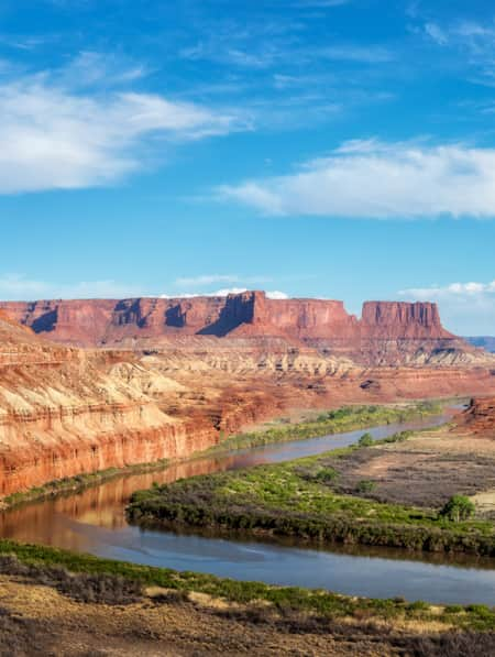
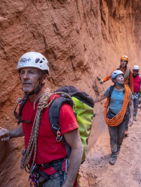
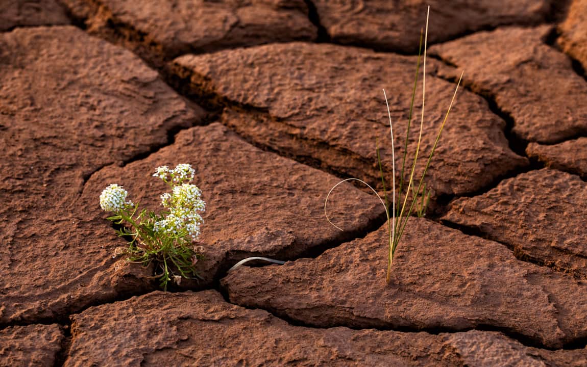
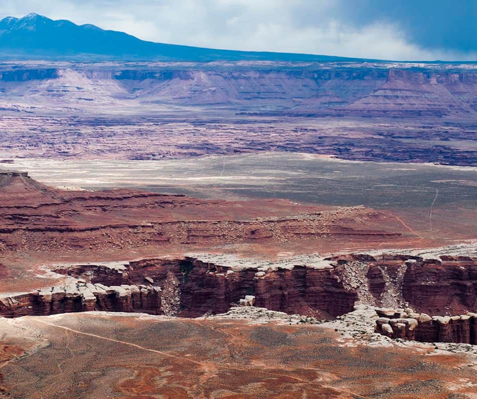
"You’ll begin in the Needles, descend through its maze of red and white canyons following a path of least resistance to the Colorado River, float through the confluence with the Green River and spend the night at Spanish Bottom."
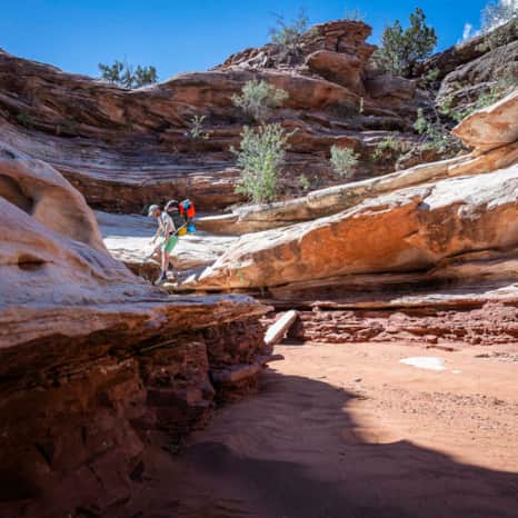
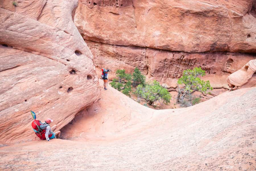
"The following morning, you’ll exit the river corridor on the opposing shore from where you started, climb to the canyon rim and overland to the Green River where you’ll camp for the evening. You’ll spend your second day walking through the Doll House and weaving through the Maze deep within the park, eventually dropping back to the river’s edge and a campsite along the Green. "


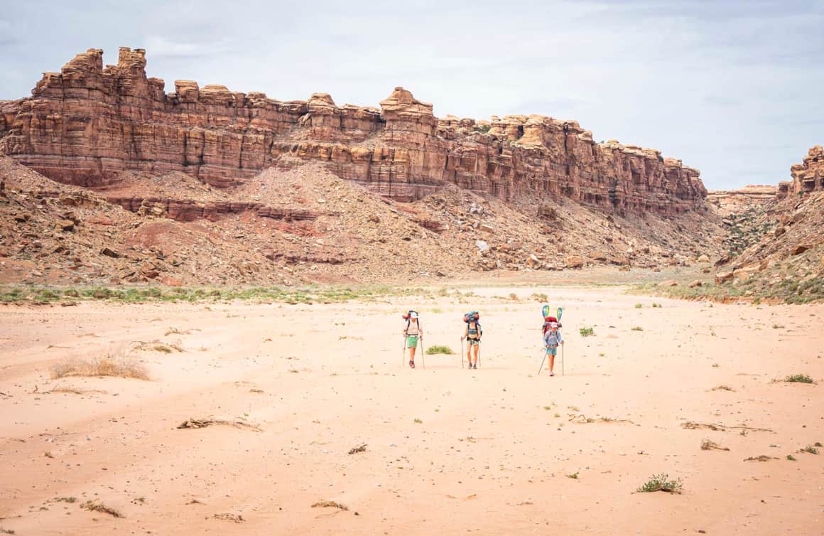
"Your third day finds you floating back through the confluence with the Colorado, and down to Spanish Bottom. Taking out on your starting side of the river, it’s time to roll up your boat, stash it on your pack and begin the trek up Red Lake Canyon to a campsite for the evening."


"Day four completes the Figure 8 with a walk through the Needles back to your vehicle. One of the park's most profound offerings and an exceptional opportunity to experience the rare beauty and solitude of a seldom visited, well-preserved wilderness – the Figure 8 doesn’t disappoint."
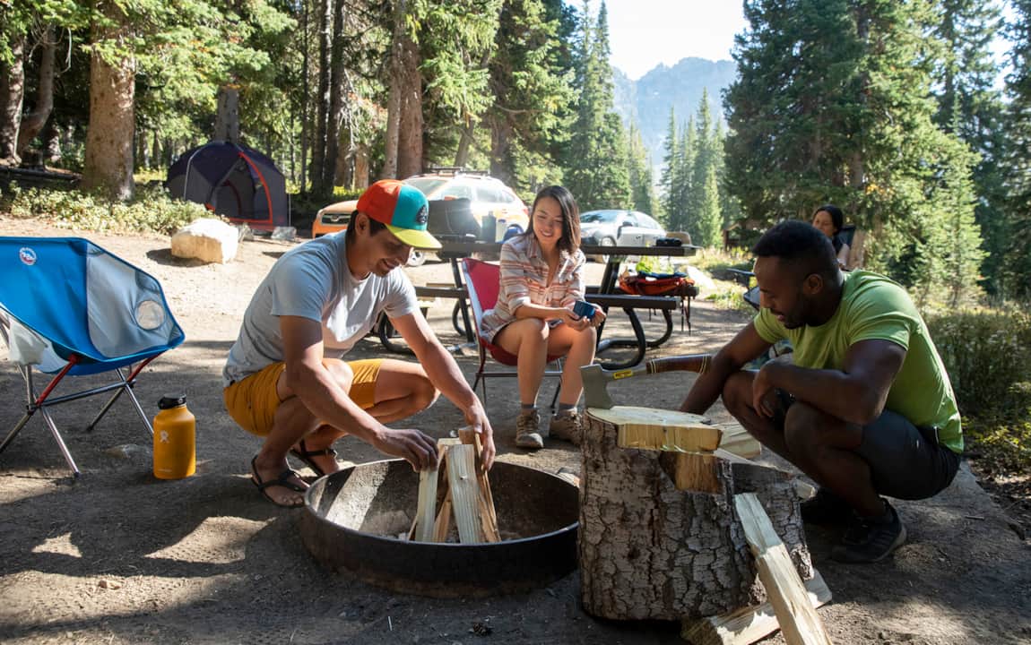
"There are few things tastier than a cold beverage and good meal after four days in the wild. A few of my personal favorite options to stop after a few days in the backcountry include Moab Brewery for cold beer and excellent burgers, Doughbird for exotic doughnuts, espresso and fried chicken or classic Mexican fare at Miguel’s."


The Complete Canyonlands Trip
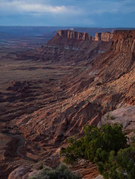
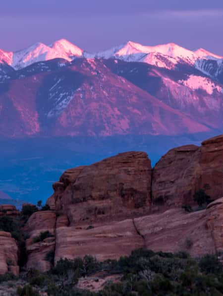
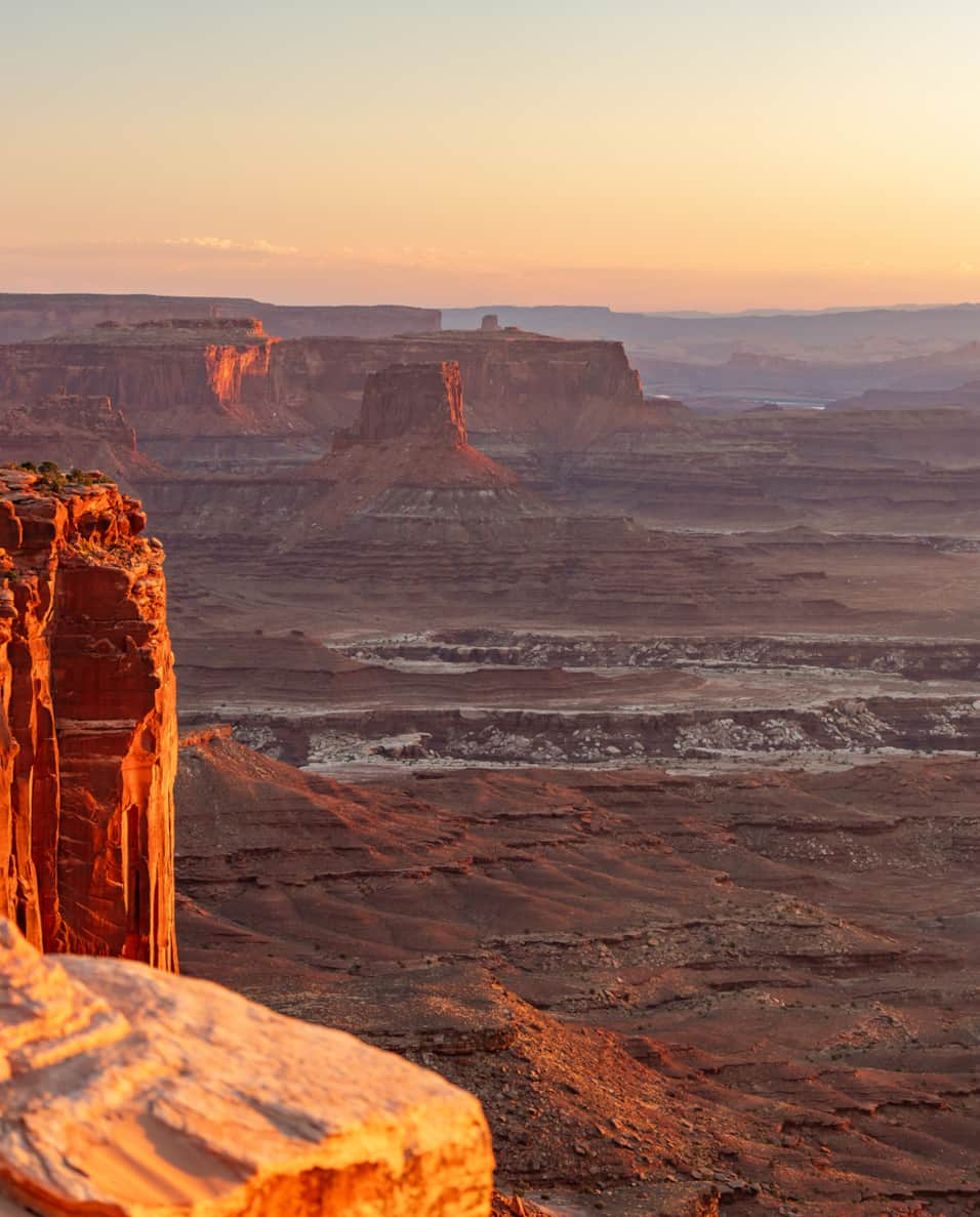
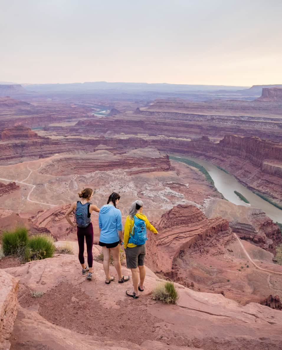
The Canyonlands Region of Utah combines the best of the Moab area's easy proximity to Arches National Park and Canyonlands National Park's most accessible district with some of the United State's most remote and culturally significant landscapes.
Highlights
- Canyonlands National Park
- Dead Horse Point State Park
- Bears Ears National Monument
- Natural Bridges National Monument
- Monument Valley Navajo Tribal Park
Iconic Classics Southeast
Three days on the open roads of Southeastern Utah is just enough for a taste of two of its most iconic national parks — Arches and Canyonlands — and a few things in between.
Highlights
- Delicate Arch
- Dead Horse Point State Park
- Moab Dining
- Explore Southeastern Utah
Slickrock Adventure
Discover how close Salt Lake City is to Arches and Canyonlands national parks in this three-day weekend filled with adventure options.
Highlights
- Arches National Park
- Canyonlands National Park
- Moab Area Adventures
- White Rim Trail or Colorado River
Stories To Inspire Your Travel
-

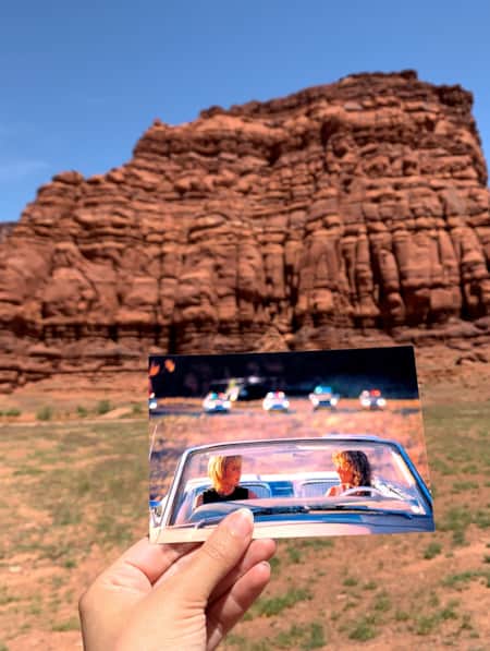
Filmed in Utah: 7 Itineraries Through Hollywood's Most Iconic Settings
While Utah's striking scenery makes it a go-to for filmmakers, the state is equally a must-visit for road-trippers and outdoor adventurers. Here are a few film and television-themed trips and tips to consider for your Utah visit.
-
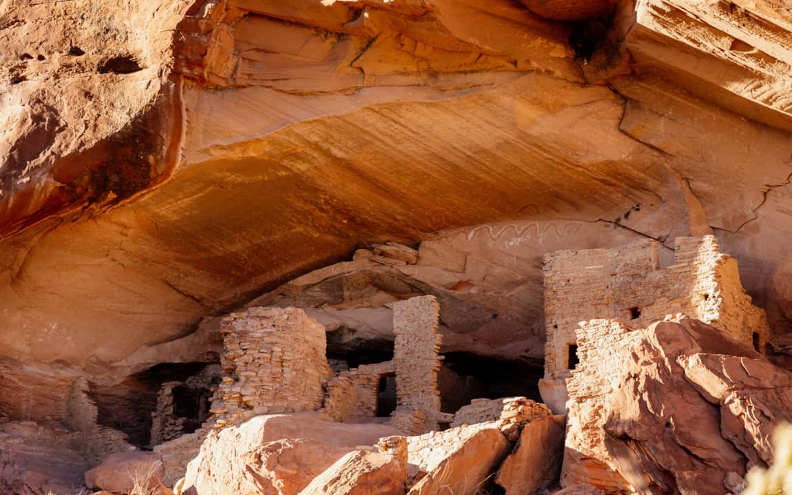
Ancient Pictographs, Petroglyphs and Timeless Mysteries
Exploring Horseshoe Canyon isn’t for everyone. First of all, the effort to get there is an adventure in itself, but those efforts make the reward — namely, the chance to see up close some of the most significant pictograph panels in North America — even more noteworthy.
-
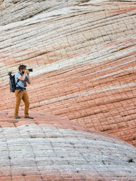
A Photographer’s Guide to Mindful Travel
Utah's deserts are a photographer's dream, yet very fragile. Find out how photographers can take a few simple steps to care for this unique environment.
-
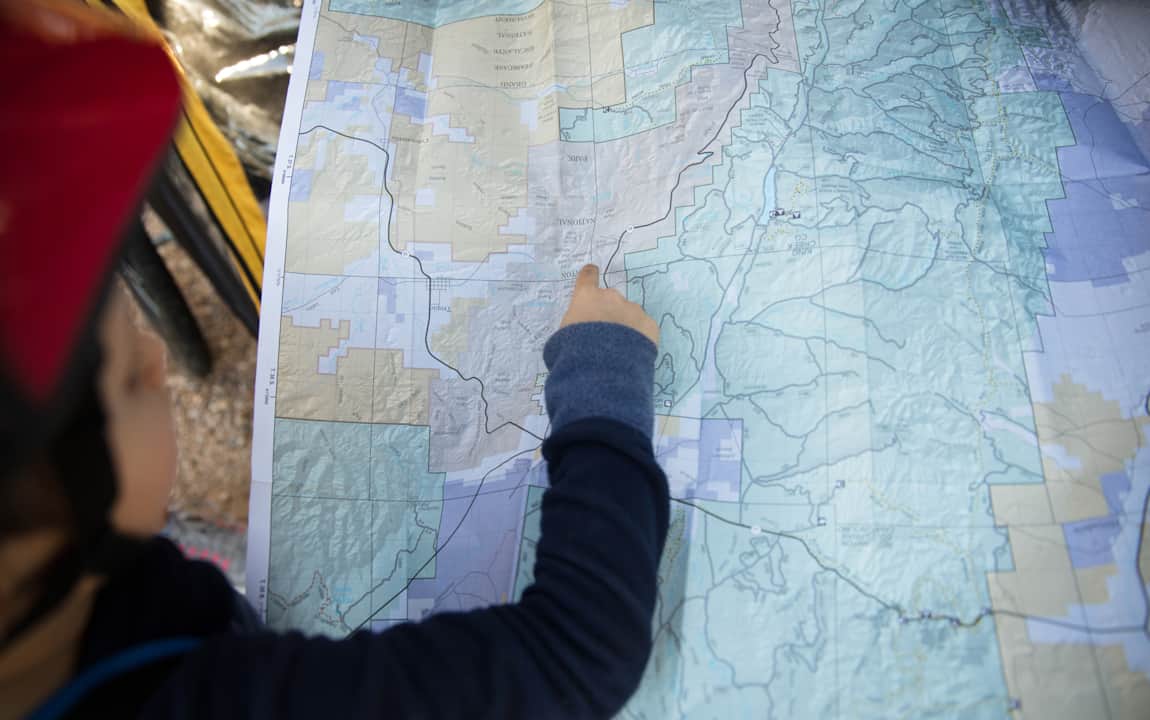
Be Prepared for the Southern Utah Backcountry
Prepare for a trip out into Utah's rugged red rock backcountry by learning as much as possible about the area before heading out. Stop by a ranger station to educate yourself and pick up necessary permits. Always practice good backcountry ethics and proper safety techniques for a safe and enjoyable adventure.
-
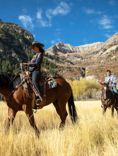
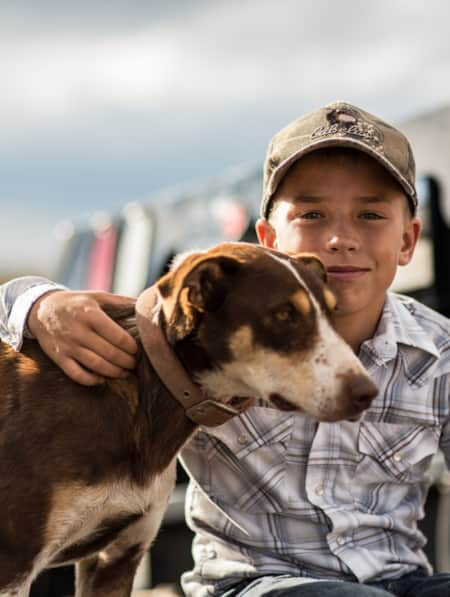
Traveling with Dogs: The Mighty 5 National Parks
At all of The Mighty 5® national parks, activities with pets are extremely limited, and every time your dog is out of your vehicle, it must be restrained in a crate, cage, or on a leash (of no more than 6 feet).
-
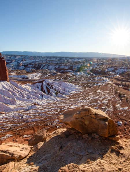
A Winter’s Desert: Visiting Southern Utah in the Slow Months
Experiencing the peace of canyon country in the winter is an attraction of its own.
-
Winter in Southeastern Utah: Arches and Canyonlands
Want to avoid the Utah national park crowds? Plan a winter Southeastern Utah trip. Experience more peace, quiet and solitude.
-
Utah Liquor Laws Visitor Guide — Yes, You Can!
In preparation for your trip to Utah, here’s what you need to know about Utah's liquor laws, especially how and where to buy a drink in the city or in the rural parts of the state.
-
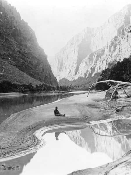
Chasing John Wesley Powell: Six Places to Explore Utah's Green and Colorado Rivers
One hundred and fifty years ago a one-armed Civil War veteran set off with nine mountain men on a scientific expedition to map one of the last blank spaces left on the U.S. map: The Green and Colorado rivers. Much of the river remains wild today. Follow Powell's journey here.
-
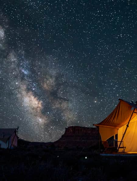
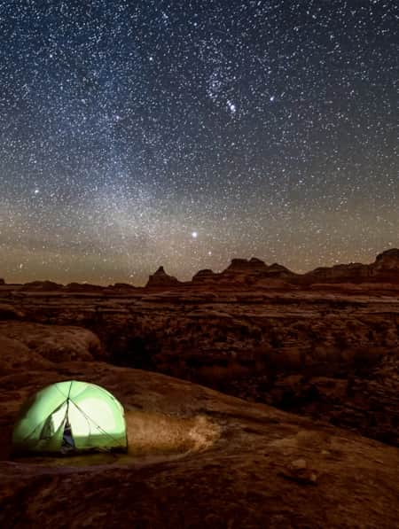
5 Places You Can Try Glamorous Camping in Utah
Experience the fun and adventure of glamping — camping with a side of luxury.
-
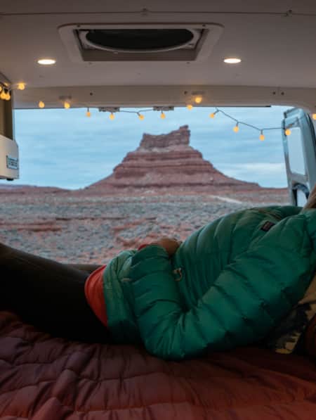
A Van Lifer’s Guide to Responsible Travel in Southern Utah
When Utah’s dirt roads are calling you, it’s time to plan your van life road trip. Here’s what you need to know to travel safely, support Utah’s rural communities, and help preserve the delicate desert landscapes.
-
5 Expert Tips to Prepare for Your Utah National Parks Adventure
If you’re planning to visit Utah national parks for a hike, learn important tips to maximize your experience and keep you and your family safe.
-
The Freedom of Wild Places
Clutching my hat with both hands, the wind roared and whipped by as I stood atop a rugged red rock formation, gazing out into the vastness of The Needles district of Canyonlands National Park.
-
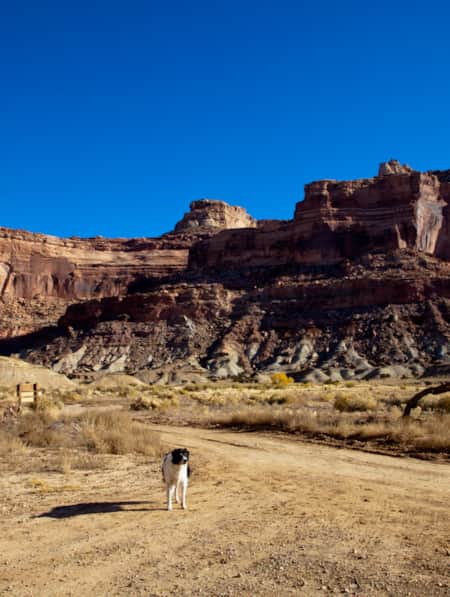
Dog-Friendly Utah: The Road to Mighty
Want to bring your furry friend on your next vacation? Utah is home to several great dog-friendly national parks and other fun destinations. Check it out and plan your trip!
-
A Guide to the Many Faces of Utah's Green River
The mighty Green River carves a path through a dramatic and varied landscape of mountains, canyons and desert for 730 miles across Utah. Whether you have a few hours or a few weeks, experience the diversity of this river yourself by getting on the water.
-
The Complete Winter Camping Packing List for Staying Warm in Southern Utah
For most travelers, Southern Utah winters prevent comfortable camping, and occasional snowfall can make outdoor adventure a little more challenging. With a little extra planning, good layers, and the right equipment, however, you can enjoy Utah's national parks in the solitude of winter.
-
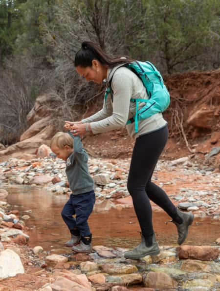
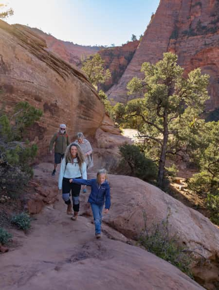
Top 10 Family-Friendly Hikes in Utah National Parks
With so many destinations, and so many trails, it can be difficult to decide where to begin in Utah's Mighty 5® national parks. Here are 10 family-friendly hikes, two per national park, you cannot miss.
-
Turning the Lens on a Wintry Southern Utah
Discover some of the most picturesque places to photograph in Southern Utah, and learn some tips for how to shoot and travel responsibly.
-
How To Stay Safe in the Outdoors
Know how to stay safe and informed during your Utah trip and who is helping when you get into trouble.
-
Movies Filmed in Utah: Plotting a Cinematic Drive-Through
Follow a Germany-based film enthusiast on an extended road trip to discover the rich history of Utah cinematography.
-
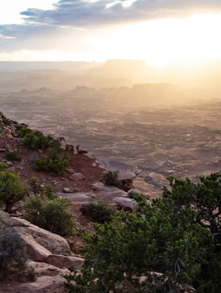
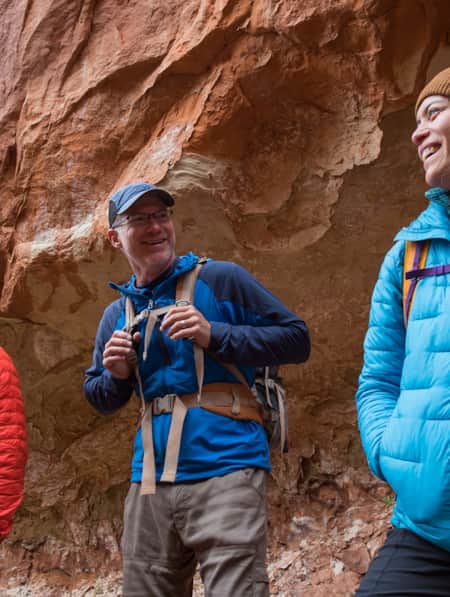
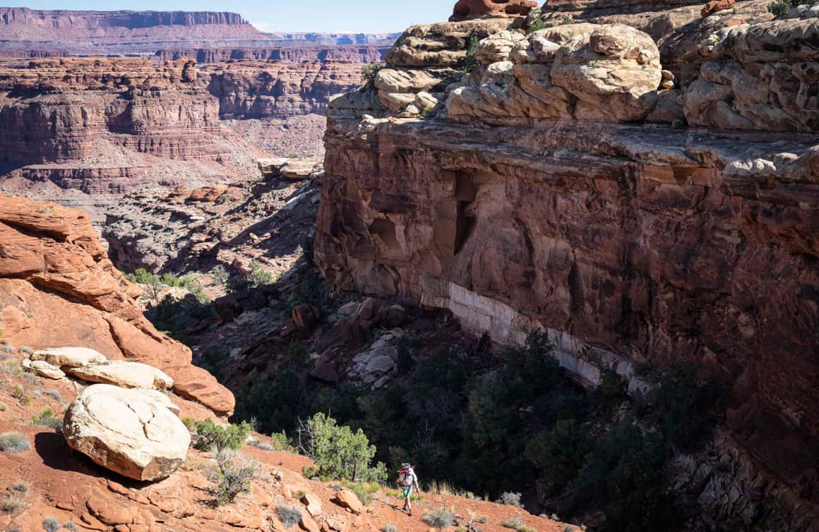
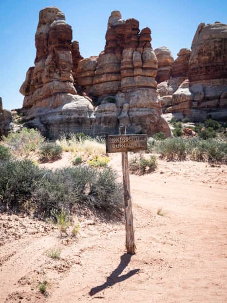
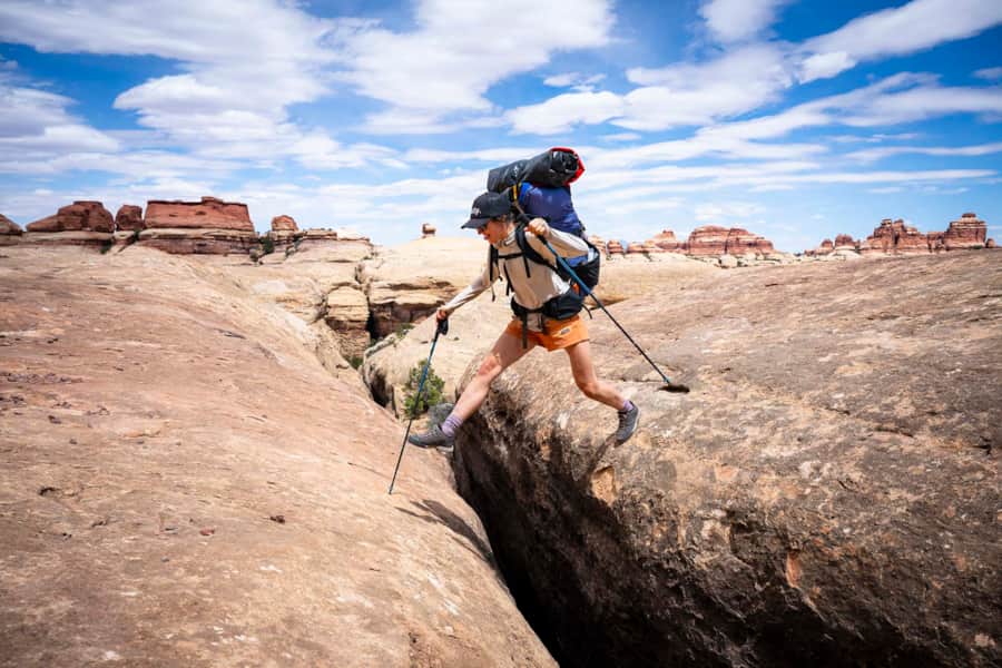
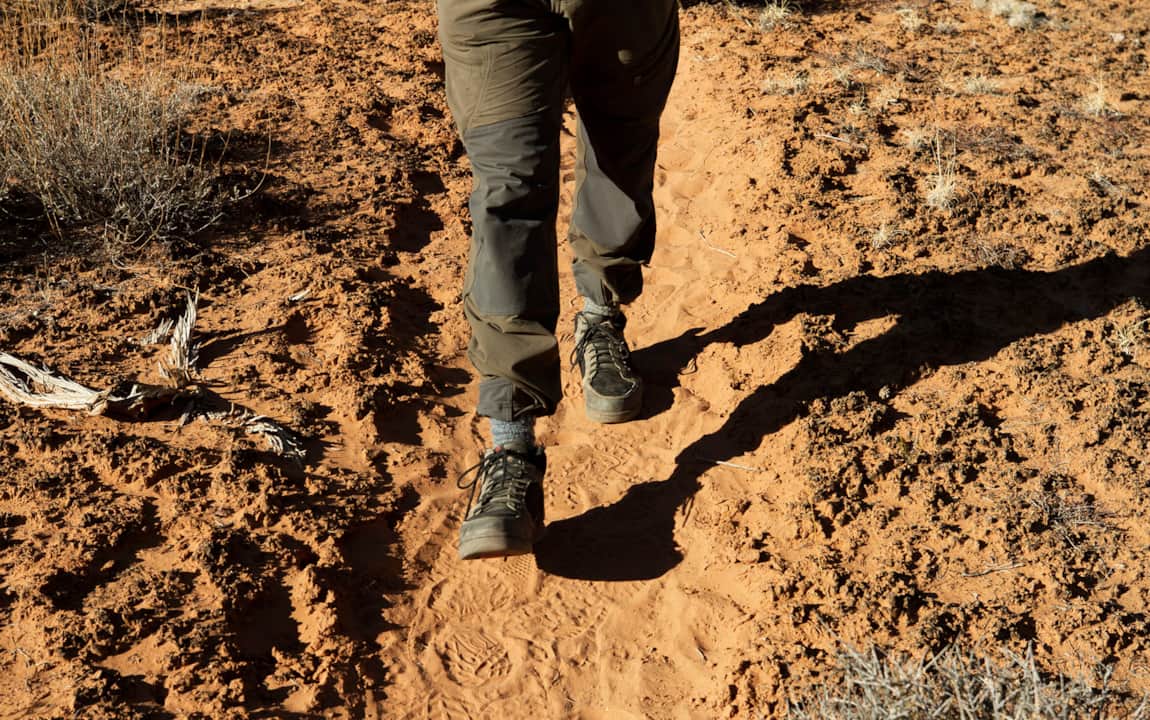
Backpacking in Canyonlands National Park
Canyonlands National Park offers a spectrum of backpacking opportunities — from short trips at designated backcountry campsites to longer, adventurous trips that require extensive planning and desert canyon navigational knowledge.
-
HBO's Westworld. See it now, in Utah.
Where is Westworld filmed? Much of Castle Valley is actually located in Utah. Learn more about the setting of your favorite television series.
-
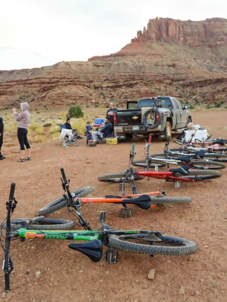
6 Steps to a Family MTB Trip on Canyonlands' White Rim
Want to take the family mountain biking on the White Rim Trail? Tackle 100 miles of biking and three days of backcountry camping in Canyonlands with the kids.
-
How to Support Local On Your Utah Road Trip
Many small businesses in Utah rely on tourism for survival. These expert tips help road trippers make a real difference in communities by supporting local.
-
Touring the Indian Creek Corridor Scenic Byway
Prepare to be captivated as you drive along Indian Creek Utah’s Corridor Scenic Byway. Explore the Needles District, Canyonlands NP and admire Utah’s natural beauty.