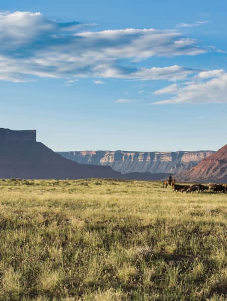
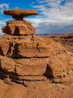
Mexican Hat
Expert Journal: Climbing the Mexican Hat
Mexican Hat, one of Utah’s strangest rock formations, balances a flattened pancake disk atop a 300-foot-high talus cone. It’s really not a hat at all, but a sombrero with a wide brim jutting above a narrow head.
What's Nearby
-
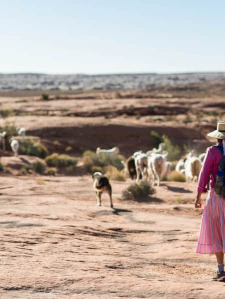
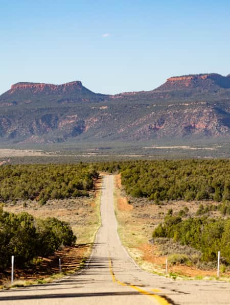
Bluff
Rich in human and natural history, Bluff is a central point along the Trail of the Ancients National Scenic Byway. It is a gateway to Monument Valley, Bears Ears National Monument, Valley of the Gods and Hovenweep National Monument.
-
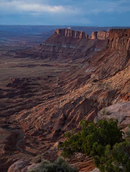
Canyonlands National Park
Canyonlands is home to many different types of travel experiences, from sublime solitude in the more remote stretches of the park to moderate hikes through the Needles district to the opportunity to create your own version of one of the West's most photographed landforms, Mesa Arch.
-
Glen Canyon and Lake Powell
Glen Canyon National Recreation Area offers more than 1.2 million acres of unparalleled opportunities for land- and water-based recreation.
-
Goosenecks State Park
Located north of Mexican Hat, Goosenecks State Park is an easy-to-get-to area with a million-dollar view. The San Juan River begins in the mountains of Colorado and travels to its junction with the Colorado River at Lake Powell.
-
Grand Staircase–Escalante National Monument
Grand Staircase-Escalante is a vast and rugged, yet easily accessible national monument.
-
Monument Valley Navajo Tribal Park
Monument Valley Navajo Tribal Park features towering sandstone rock formations, sculpted over 300 million years, that soar 400 to 1,000 feet above the valley floor.

Discover More
-

10 Places to Honor Women's History on Your Trip to Utah
Notable places you can visit where women have shaped history
-
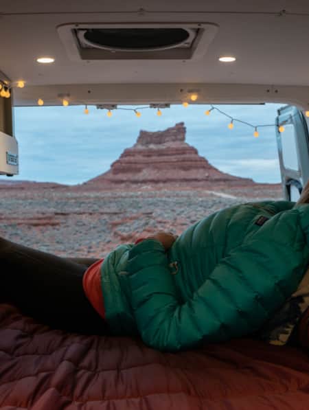
A Van Lifer’s Guide to Responsible Travel in Southern Utah
When Utah’s dirt roads are calling you, it’s time to plan your van life road trip. Here’s what you need to know to travel safely, support Utah’s rural communities, and help preserve the delicate desert landscapes.
-
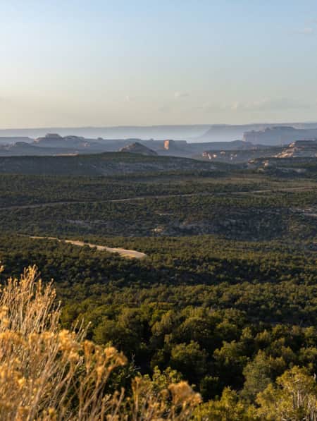
An Adventure Guide to Harts Draw Road
Winding up into the Abajo Mountains of southeastern Utah and down into sprawling red rock canyons, the 18-mile Harts Draw Road offers the perfect mixture of snow and sand, scenery and solitude.
-
Backpacking in Canyonlands National Park
Canyonlands National Park offers a spectrum of backpacking opportunities — from short trips at designated backcountry campsites to longer, adventurous trips that require extensive planning and desert canyon navigational knowledge.
-
Be Prepared for the Southern Utah Backcountry
Prepare for a trip out into Utah's rugged red rock backcountry by learning as much as possible about the area before heading out. Stop by a ranger station to educate yourself and pick up necessary permits. Always practice good backcountry ethics and proper safety techniques for a safe and enjoyable adventure.
-
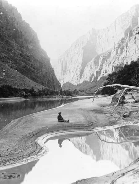
Chasing John Wesley Powell: Six Places to Explore Utah's Green and Colorado Rivers
One hundred and fifty years ago a one-armed Civil War veteran set off with nine mountain men on a scientific expedition to map one of the last blank spaces left on the U.S. map: The Green and Colorado rivers. Much of the river remains wild today. Follow Powell's journey here.
-
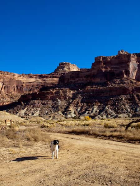
Dog-Friendly Utah: The Road to Mighty
Want to bring your furry friend on your next vacation? Utah is home to several great dog-friendly national parks and other fun destinations. Check it out and plan your trip!
-
Exploring Mule Canyon: House on Fire and Cave Tower
Driving the up the dusty, terracotta-colored road toward Mule Canyon in Cedar Mesa, you get a sense that this is a special place, though you might not be able to put a finger on why.
-
HBO's Westworld. See it now, in Utah.
Where is Westworld filmed? Much of Castle Valley is actually located in Utah. Learn more about the setting of your favorite television series.
-
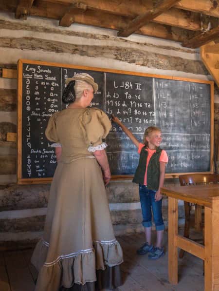
Historical Sites in Utah
Explore Utah's fascinating past with our guide to historical sites and hidden gems. Uncover pioneer and indigenous stories at these Utah heritage hot spots.
-
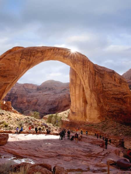
Insider's Guide to Hiking Rainbow Bridge National Monument
From choosing the best season and trail, to understanding logistics and history, here's what you need to know to hike Utah's Rainbow Bridge National Monument located off the south coast of Lake Powell.
-
It’s About Time We All Unplugged
In Utah, you can find far-flung places to reset, wellness resorts that promote digital detox, and destinations where you can swap screen time for much-needed adventure time.
-
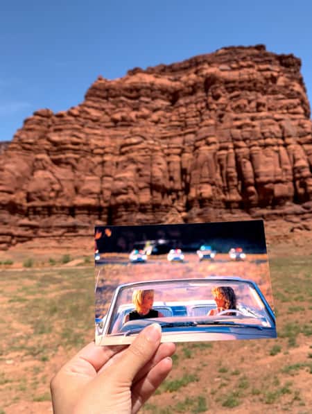
Movies Filmed in Utah: Plotting a Cinematic Drive-Through
Follow a Germany-based film enthusiast on an extended road trip to discover the rich history of Utah cinematography.
-
Navajo: Fry Bread, Tacos, Pizza
Despite its troubling origins, Navajo fry bread is an inspired food of the nation’s people, and it can be found in many forms with various names around the southwest.
-
The Art of Supporting Utah Artists
Here’s a look at six local artists whose work draws upon Utah’s diverse environments as inspiration.
-
The Freedom of Wild Places
Clutching my hat with both hands, the wind roared and whipped by as I stood atop a rugged red rock formation, gazing out into the vastness of The Needles district of Canyonlands National Park.
-
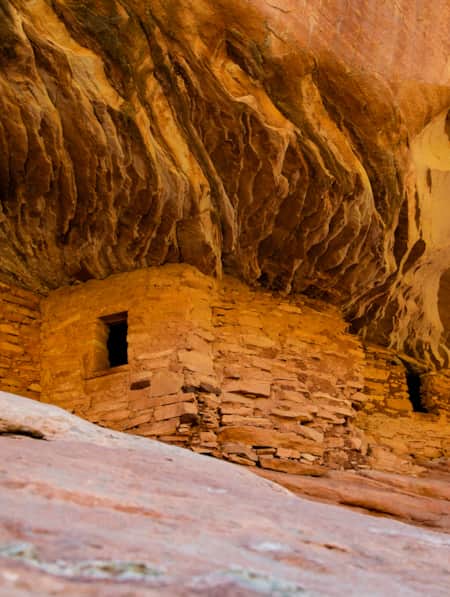
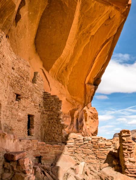
The History of River House (and How to Experience It Today)
The River House Site, nestled into the west side of Comb Ridge, is home to an array of pictographs as well as a kiva and several one- and two-story rooms.
-
The Navajo Basketmakers
Meet the Navajo artists behind this labor intensive and traditional practice.
-
The Voices of Bears Ears
Bears Ears National Monument is at the heart of southeastern Utah. These lands are imbued with layers of culture — layers of life. In this four-part video series, meet the locals who connect with the land in their own distinct ways.
-
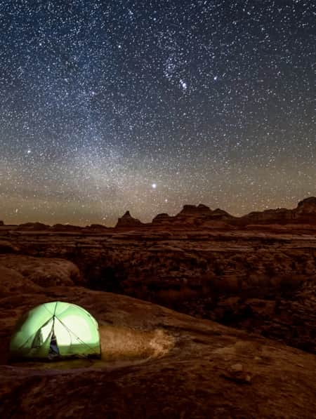
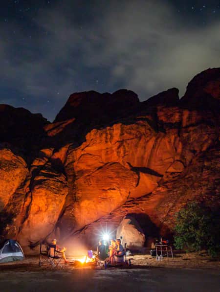
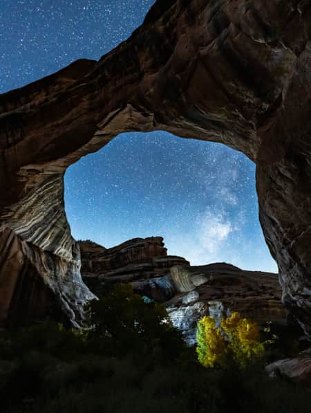
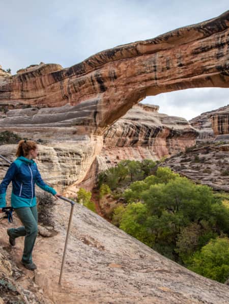
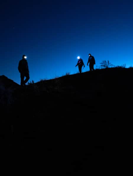
The World's First Dark Sky Park
On March 6, 2007, Natural Bridges National Monument became the first International Dark Sky Park certified by the International Dark-Sky Association. More than 100,000 people visit Natural Bridges each year to check out the stunning bridges and hike in cool canyons, but only a handful of them stay through the night to see the area’s most amazing and unique feature: dark skies and glistening, bright stars.
-
Touring Utah with the State’s Most Well Known Women Writers
The diversity and beauty found in Utah has often been captured by women. Here are the places that seven of Utah’s most well known women writers knew and loved most.
-
Utah’s Unexpected Pit Stops
Here are 11 mini-adventures to check off your list next time you’re road-tripping through Utah.
-
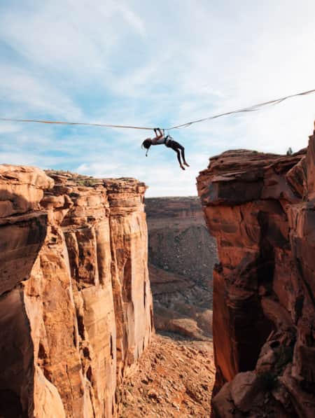
Walking The Line Between Risk and Responsibility
Why a Hawaii-based highliner and influencer hasn't returned to Utah — yet.
-
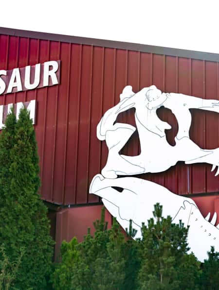
Why a Visit to the Blanding Dinosaur Museum is a Must
The Blanding Dinosaur Museum, off U.S. 191 in Southeastern Utah, is a hidden gem: The artifact collection here includes bones, dinosaur eggs, and even fossilized skin! The museum also has three wonderfully preserved petrified trees and unique movie memorabilia.
-
You're Inspired to Go Off the Beaten Path. Now What?
Here’s how to navigate Utah's backcountry safely.