Hike Among Traces of the Ancients at the Mysterious Parowan Gap
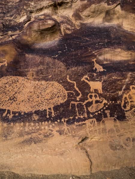
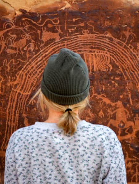
The walls of the Parowan Gap are steep jumbles of weathered and fractured Navajo sandstone. There are an impressive number of panels covered in petroglyphs. Some people believe that the Gap was considered a special place at certain times.

Just north of Cedar City, Utah, on the edge of the Great Basin is a piece of rising desert prairie. At the center of this red uplift, water from an ancient stream cut a narrow path through the sandstone. Eventually the stream vanished and the wind picked up where the water left off, whittling it wider and wider. This passage eventually became a path that was frequently traveled by the ancient Fremont Cultures and the ancestors of the Southern Paiute and Hopi People. During their journeys some stopped and spent time pecking and chiseling images into the rock. This place has a name. It’s called the Parowan Gap.
What Makes It Great
The Parowan Gap is a short drive from Cedar City The narrow, 500-foot deep pass through the Red Hills is only wide enough for a two-lane highway. Coming from Parowan and Interstate-15 you quickly spot the cut along the horizon. The Bureau of Land Management (BLM) has built a nice parking area and there is a sidewalk with interpretive signs to lead you along the Gap’s north side. An iron railing has been installed to prevent you from touching the rock.
In addition to the petroglyphs, you can find dinosaur tracks if you head one mile east from the Gap. Located at the base of a towering cliff of conglomerate rock is a maze of boulders. A small collection of footprints can be found on these. Stop by on your way to or from the petroglyphs. Located close to Interstate 15, the Parowan Gap is a convenient trip for everyone. If you’re into geology, the anticline of the Red Hills and the wind gap are unique. If you dig Native American history the short trip to examine the petroglyphs is totally worth it.
What You’ll Remember
The walls of the Parowan Gap are steep jumbles of weathered and fractured Navajo sandstone. There are an impressive number of panels covered in petroglyphs. Some are recognizable as animals and humans, but mostly they are shapes. Circles, spirals, lines, and dots all collide and overlap giving you the sense that some of the petroglyphs are newer than others. Walking east to west you make your way along the north side then cross the road and head back. The south side has only a few petroglyphs and you can also see where the names and initials of pioneer settlers have been carved.
Arriving early or coming later in the day offers the best viewing of the petroglyphs. Some people believe that the Gap was considered a special place at certain times of the year. Watching the sunset from there is highly recommended.
One of the more impressive panels is the Zipper petroglyph located on the Gap’s northeast side. Recent studies have put forth the idea that it is a map, a calendar of solar alignments, and a system of outer cairns. The Zipper is thought to be an inverted man with an arrow in his skull—you can read more about it and other sign interpretations along the gap.
GPS Coordinates, Parking, and Regulations
GPS Coordinates:
Petroglyphs: N37° 54' 35", W112° 59' 08"
Dinosaur Tracks: N37° 53' 49", W112° 57' 03"
From Cedar City: Go north on Main (or take Interstate 15 Exit 62) to UT 130. Continue north 13.5 miles, then turn east (right) 2.5 miles on a good gravel road to Parowan Gap.
From Parowan: Go north on Main to 400 North. Turn west (left) for 10.5 miles on good gravel road (near Milepost 19).
Discover More
-

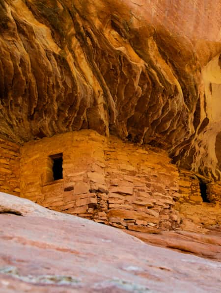
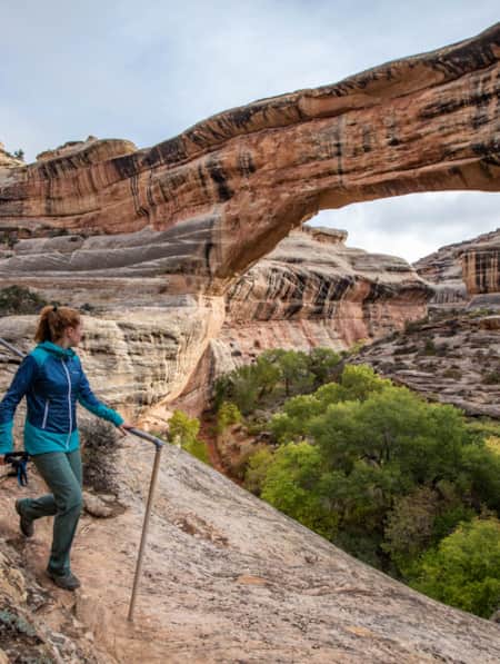
Exploring Mule Canyon: House on Fire and Cave Tower
Driving the up the dusty, terracotta-colored road toward Mule Canyon in Cedar Mesa, you get a sense that this is a special place, though you might not be able to put a finger on why.
-
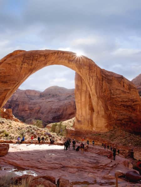
Insider's Guide to Hiking Rainbow Bridge National Monument
From choosing the best season and trail, to understanding logistics and history, here's what you need to know to hike Utah's Rainbow Bridge National Monument located off the south coast of Lake Powell.
-
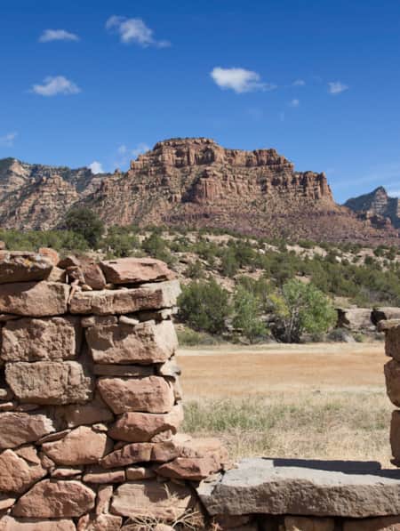
Historical Sites in Utah
Explore Utah's fascinating past with our guide to historical sites and hidden gems. Uncover pioneer and indigenous stories at these Utah heritage hot spots.
-
Ancient Pictographs, Petroglyphs and Timeless Mysteries
Exploring Horseshoe Canyon isn’t for everyone. First of all, the effort to get there is an adventure in itself, but those efforts make the reward — namely, the chance to see up close some of the most significant pictograph panels in North America — even more noteworthy.
-
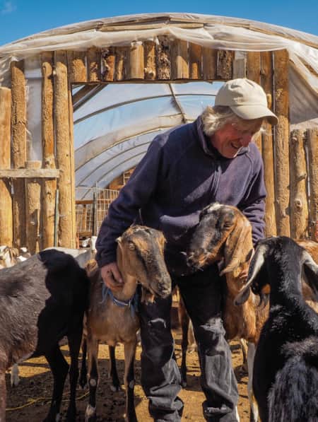
Navajo: Fry Bread, Tacos, Pizza
Despite its troubling origins, Navajo fry bread is an inspired food of the nation’s people, and it can be found in many forms with various names around the southwest.
-
Meet the Fremonts: Unearthing an Ancient Civilization
Did you know that interstate highway construction created Fremont Indian State Park? Visit the park and Museum for a peek into Utah’s past, plus hiking and ATV trails.
-
Utah’s Unexpected Pit Stops
Here are 11 mini-adventures to check off your list next time you’re road-tripping through Utah.
-
The Voices of Bears Ears
Bears Ears National Monument is at the heart of southeastern Utah. These lands are imbued with layers of culture — layers of life. In this four-part video series, meet the locals who connect with the land in their own distinct ways.
-
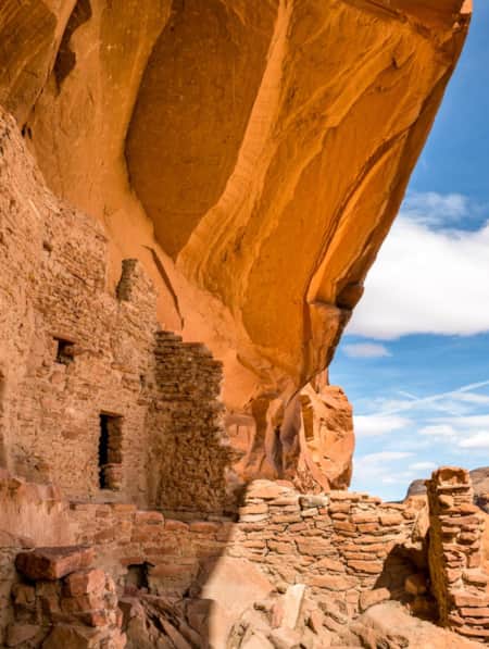
The History of River House (and How to Experience It Today)
The River House Site, nestled into the west side of Comb Ridge, is home to an array of pictographs as well as a kiva and several one- and two-story rooms.
-
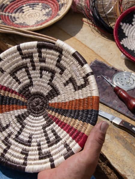
The Navajo Basketmakers
Meet the Navajo artists behind this labor intensive and traditional practice.
-
The Petroglyphs of Comb Ridge
Comb Ridge in Southeastern Utah offers dramatic galleries of ancient petroglyphs engraved on sandstone cliffs by Ancestral Puebloan artists over 1,000 years ago.
-
Touring Utah with the State’s Most Well Known Women Writers
The diversity and beauty found in Utah has often been captured by women. Here are the places that seven of Utah’s most well known women writers knew and loved most.
-
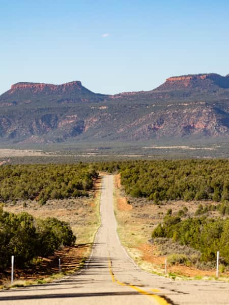
San Juan and the Trail of the Ancients
At almost 8,000 square miles, San Juan is Utah's largest county, nearly the size of New Jersey. Between the Needles district of Canyonlands and Four Corners there are vast lands of incredible wilderness, national forest, the Monument Valley Navajo Tribal Park and beautiful rivers and...
-
Spirits in the Rock
Spectacular pictograph panels, ingenious cliff-hanging architecture and the mysteries of Range Creek Canyon’s first inhabitants, the Fremont.
-
The 46 Miles of Nine Mile Canyon
Follow Nine Mile Canyon Road into the rugged and remote Book Cliffs, where messages from the ancients interface with settlers of the West and modern ways of thinking.
-
Art Keeps the Native American Culture Alive
Utah artist Al Groves launches a new art collective as he works to keep indigenous traditions alive.
-
How to Visit Rock Imagery Sites Like an Archaeologist
There are untold thousands of rock imagery sites across Utah, and hundreds of thousands of archaeological sites of every stripe. Learn how to explore these sites with the respect and deference they deserve.
-
Wintertime Storytelling With Shoshone Tribal Elders
We’re shining a spotlight on elders from the Northwestern Band of the Shoshone Nation who keep tribal history alive through the stories traditionally told and retold in winter months.
-
Nourished by the Land: A Shoshone Perspective
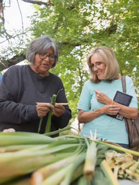
Darren Parry learned from his grandmother about the plants, places and worldview that sustained their Shoshone ancestors.
-
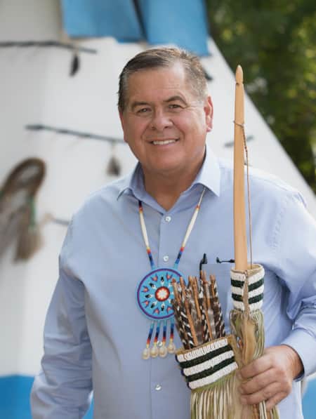
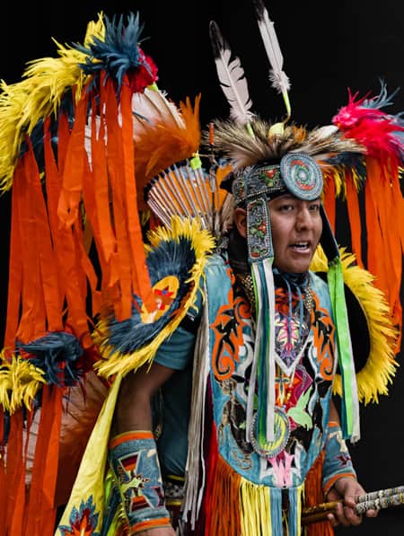
Hoop by Hoop with Patrick Willie
A Navajo storyteller found his purpose in hoop dancing. Now he’s using his platform to amplify the Native voices of a younger generation.
-
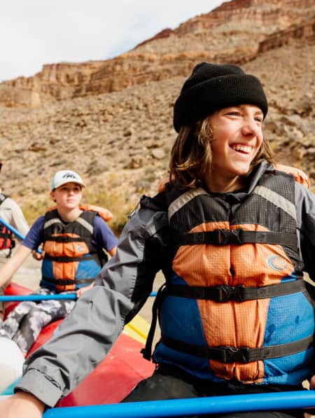
Why Your Kids Need a Utah Trip
Discover where adventure and learning converge across iconic rivers and ancient canyons.
-
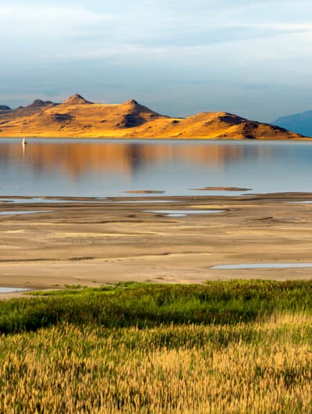
Great Salt Lake Needs Your Visit
While you visit this mysterious natural wonder, you can also help save it.
-
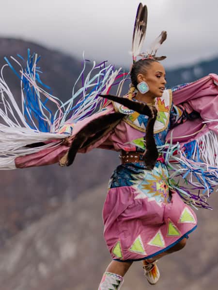
A Navajo Artist Finds Her Beat and Shares It
Rhonda "Honey" Duvall is a leader in Salt Lake City’s Navajo community, elevating the presence of indigenous culture through music and dance.
-
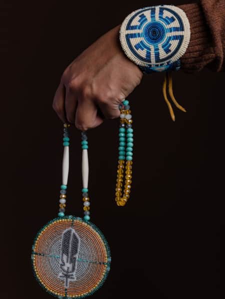
Exploring the Cultural Vistas of Cedar City
Visitors expect to find stunning views, yet sophisticated cultural offerings continue to surprise art lovers as they discover this rural outpost.
-
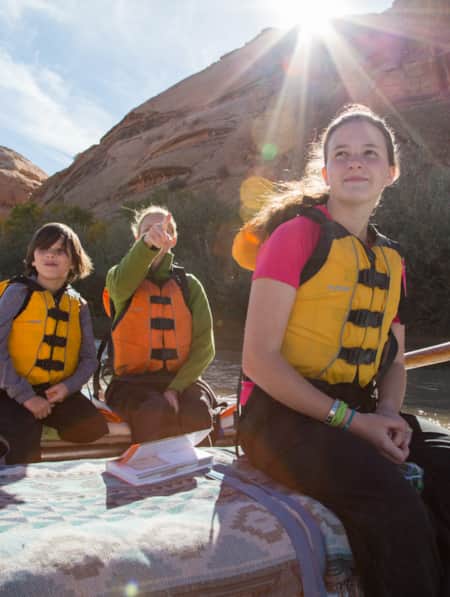
Rafting the San Juan River: Explore Bears Ears with Ancient Wayves Indigenous Guides
Indigenous river guides with Ancient Wayves help visitors experience the both the cultural heritage and breathtaking landscape of the Bears Ears region.