3 Hikes That Showcase the Raw, Dramatic Beauty of the High Uintas Wilderness

1. Kings Peak Trail
Distance: 26.8 miles
Trailhead: Henry’s Fork Trailhead
Perched at a lofty 13,528 feet above sea level, Kings Peak marks the highest point in the state of Utah. And, with 6,348 feet of prominence, this summit stands out amid the ridgelines and valleys of the High Uintas.
Take the nearly 30-mile, out-and-back route from the Henry’s Fork Trailhead for a challenging multi-day trek. Follow the North Slope Trail until you reach Elkhorn Crossing and either continue along the North Slope Trail for the most direct route to the base of Kings Peak, or tack on an extra mile to the hike by taking the West Side Loop with fewer crowds and beautiful lake vistas.
The best campsites are at one of the lakes along the West Side Loop, or at Dollar Lake on the main route before tackling the summit of Kings Peak via Gunsight Pass and the Highline Ridge. After savoring the summit, spend another night along the trail below Kings Peak before returning.
Henry’s Fork Trailhead is three hours from Salt Lake City via I-80 through Wyoming to the range’s north side.

2. Teepee Lakes Trail
Distance: 7 miles
Trailhead: Browne Lake Campground
For hikers seeking a day hike with spectacular Uinta vistas, the Teepee Lakes Trail offers just that. Access the trail from the Spirit Lake Scenic Backway and head past Browne Lake Campground for about one mile before reaching the Teepee Lakes Trailhead.
From the trailhead, enjoy this out-and-back trail as it weaves through ponderosa pines to a tranquil alpine lake. If you have an angler in your group, pack a fly rod and cast a line along the picturesque shores.
Browne Lake is in the eastern Uintas and the Ashley National Forest. The trailhead is less than an hour from Manila near Flaming Gorge National Recreation Area or about 90 minutes from a base camp in Vernal. The area is approximately four hours from Salt Lake City.
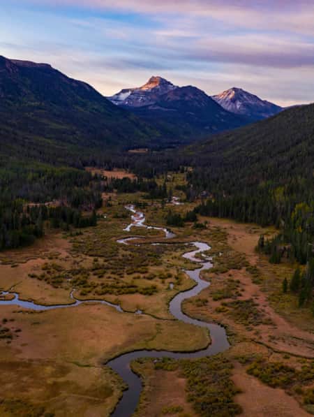
3. Christmas Meadows/Amethyst Lake Trail
Distance: 11.7 miles
Trailhead: Christmas Meadows Campground
Head to Christmas Meadows for some of the High Uintas’ best camping and hiking. Make reservations at the Christmas Meadows Campground and spend a couple days exploring the area.
Head out for a full-day trek to Amethyst Lake and you’ll be rewarded with seclusion and stunning alpine vistas. Follow the Stillwater Fork Trail through the pine forest and along the Stillwater Fork before reaching the junction to Amethyst Meadows. Climb the remainder of the trail to the treeline and look find the turquoise waters of Amethyst Lake nestled between rocky ridgelines in this remarkable alpine cirque.
Discover More Utah
-

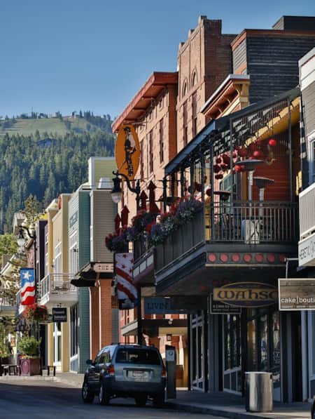
A Classy Warm-Weather Weekend in Park City
When it comes to spending time in Park City — Utah’s snow sports —mecca I prefer the sunny, urbane side of mountain life. Happily, there’s plenty of fun to be had for those who are looking to experience the “city” side of Park City, sans snow.
-
Backpacking the High Uintas Wilderness [VIDEO]
Field notes — plus a short film — on backpacking the High Uintas Wilderness. Pursue solitude, extended moments of introspection, cutthroat trout and the Milky Way.
-
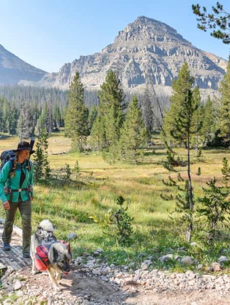
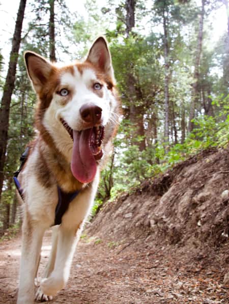
Dog-friendly Utah: Northern
Explore the top dog-friendly places to hike and explore in the Northern Utah, including state parks, national forests and a bird refuge.
-
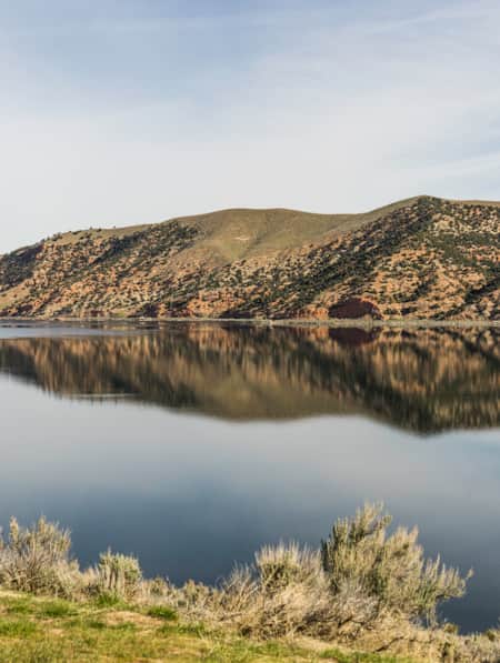
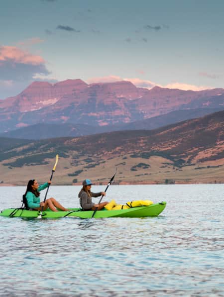
Get to Know Echo State Park
Situated at 5,560 feet above sea level, just north of Park City, lies Echo State Park. Watersports are king here, and whether you kayak, paddleboard, or boat, it’s a perfect place to get out on the water.
-
How to Slow Travel in Utah
Avoid the mad scramble and consider slow travel as a better approach to your Utah trip.
-
How to Visit Utah’s Most-Visited Forest
The Wasatch Front mountain range offers endless amounts of recreational activity. Learning how to visit responsibly will enhance your overall experience.
-
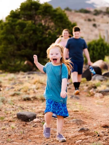
Together They Climb
Utah’s most unlikely adventure family shows America that you don’t have to fit into the outdoors stereotypes to find your place on the trail.