Dead Horse Point State Park
Things to Do
-
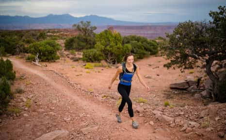
Hiking
Eight miles of connected hiking trails lead to eight different overlooks. All of these trails are easy and do not require any technical hiking ability. Most of these trails allow both hikers and mountain bikers. Mountain bikers should yield to hikers, but sometimes it’s easier to go ahead and stand aside if you can. Hikers should yield to anyone on horseback.
-
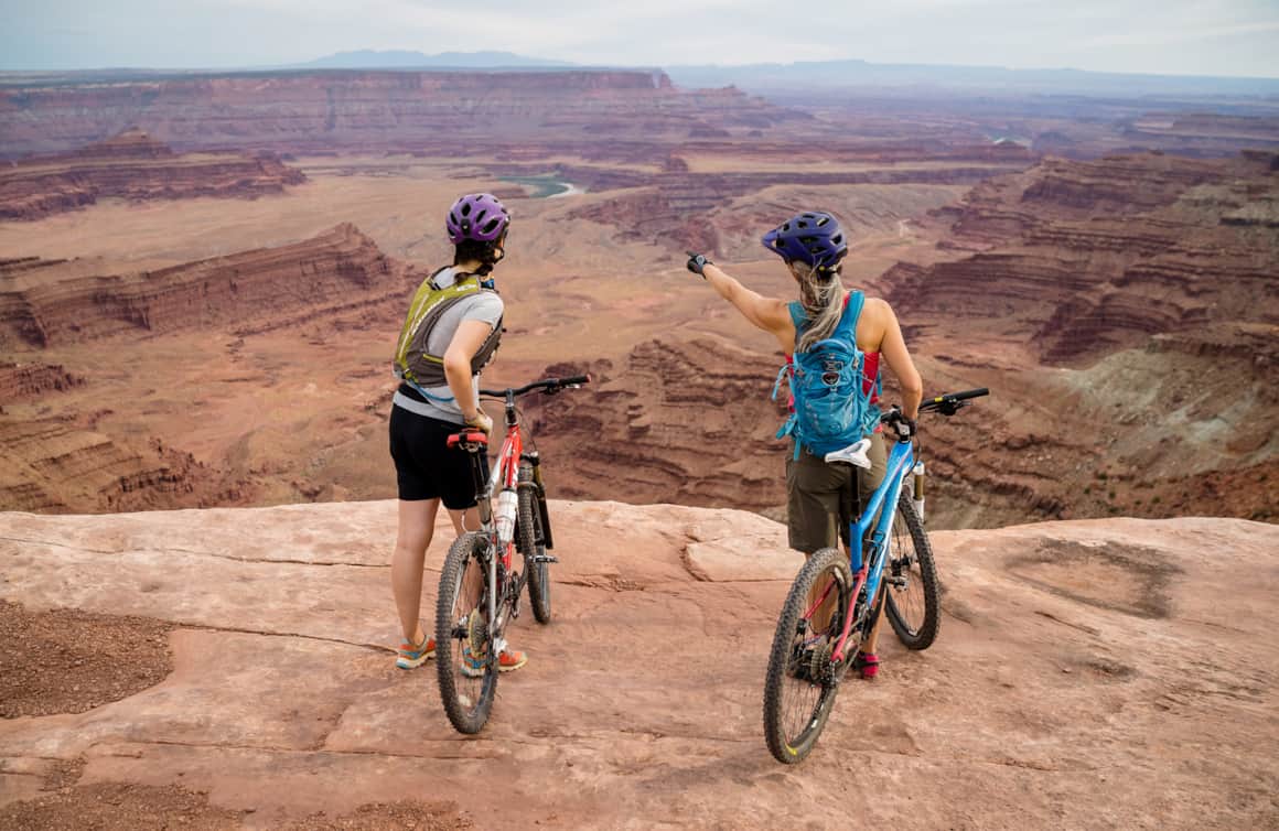
Mountain Biking
The Intrepid Trail System at Dead Horse Point State Park delights mountain bikers with its flowy trails through juniper and pinyon pine trees. The system includes 17 miles of non-motorized singletrack trails that are primarily rated easy and intermediate. Downhill riders should yield to uphill riders.
-
Stargazing
Since 2016, Dead Horse Point State Park has been an officially designated International Dark Sky Park. The high plateau and distance from city light pollution makes it an ideal place to view the celestial sphere. Park rangers are great resources for more information about the night skies above Dead Horse Point State Park.
-
Utah Film Trail
Dead Horse Point State Park is home to a Utah Film Trail marker. Fossil Point that sits just below the park is featured in one of the most iconic scenes from "Thelma & Louise" starring Susan Sarandon and Geena Davis. Director Ridley Scott was captivated with the landscapes in Moab and chose this area for the film's memorable ending. Other productions filmed in this area include "Fort Apache" (1948), "Mission: Impossible II" (2000) and "Westworld" (2016-2018).
-
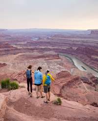
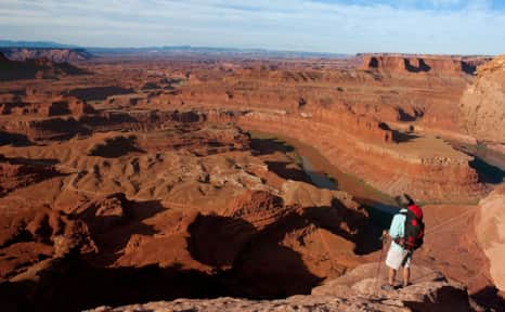
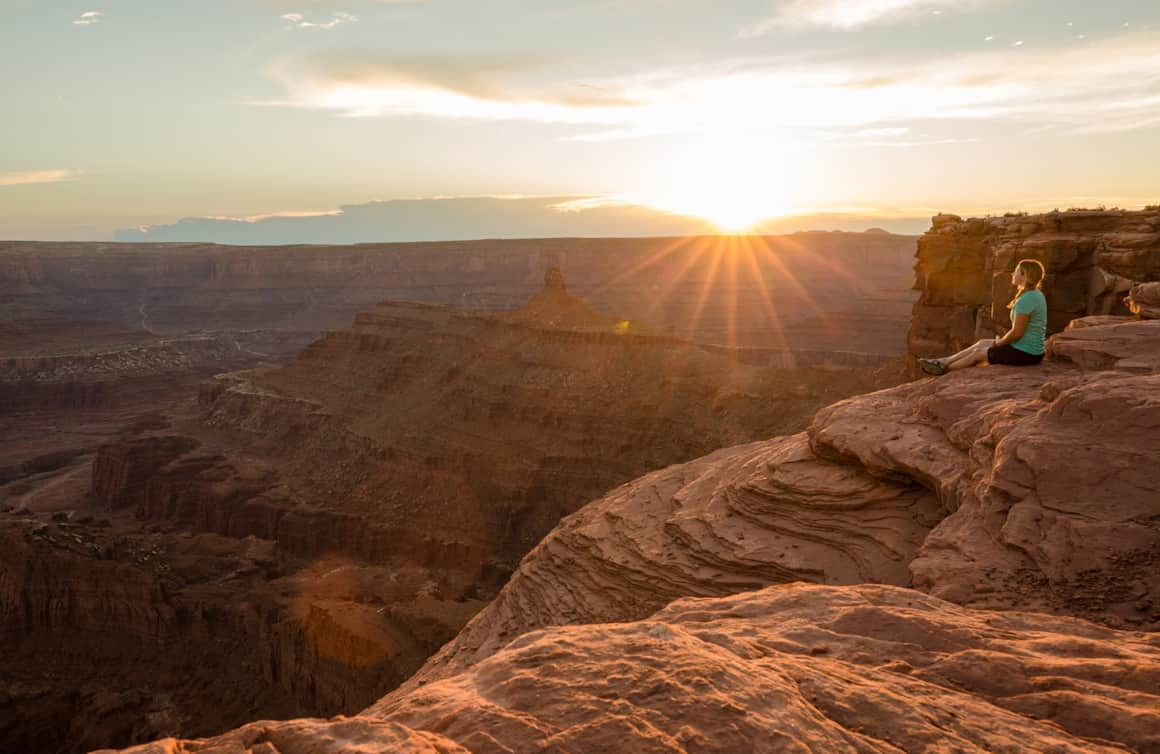
Views From the Overlook
The view from Dead Horse Point State Park is one of the most photographed scenic vistas in the world. The overlook soars 2,000 feet (609 meters) above the winding Colorado River and offers vast breathtaking views of Canyonlands National Park.
Travel Tips
- The park is open year round from 6 a.m. until 10 p.m. daily.
- WiFi is not available at the visitor center and cell phone signals can be spotty to non-existent.
- Dogs are allowed at the park and in the campgrounds. Read the traveling with pets guidelines for more information.
- The visitor center is open daily except Thanksgiving, Christmas and New Year’s Day.
- As you plan your travels, help us to preserve the natural beauty, vibrant culture and unique traditions that make this state so special. That’s the Utah Forever way.
Weather
In the spring or fall temperatures pleasantly hover in the 70s and low 80s (F) (21-28 C). In January lows dip into the 20s and in July temperatures can skyrocket to more than 100 F (38 C). It does snow in Moab and Canyonlands National Park, but it usually doesn’t stick around for too long. It’s not common to see a heavy snowstorm in March and April, but it does happen. When it rains the slickrock becomes incredibly slippery and tough to navigate, hence its name, so check weather reports before heading out on any adventure and be sure to wear shoes with good traction. It’s always a smart idea to bring a rain jacket, sunscreen, a hat, snacks, a headlamp, first aid kit and more water than you think you’ll need for any activity.
What's Nearby
-

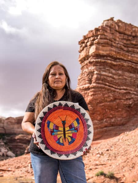
Moab
Moab is surrounded by a sea of buckled, twisted and worn sandstone sculpted by millennia of sun, wind and rain
-
Monticello
The southeastern Utah town of Monticello lies on the sheltered eastern slope of the Abajo Mountains, overlooking a maze of sandstone canyons and plateaus.
-
Green River
The city of Green River was once a stomping ground for Butch Cassidy and his Wild Bunch, and is a haven for river runners who raft places such as Desolation and Gray Canyons.
-
Bluff
Rich in human and natural history, Bluff is a central point along the Trail of the Ancients National Scenic Byway. It is a gateway to Monument Valley, Bears Ears National Monument, Valley of the Gods and Hovenweep National Monument.
-
Canyonlands National Park
Canyonlands is home to many different types of travel experiences, from sublime solitude in the more remote stretches of the park to moderate hikes through the Needles district to the opportunity to create your own version of one of the West's most photographed landforms, Mesa Arch.
-
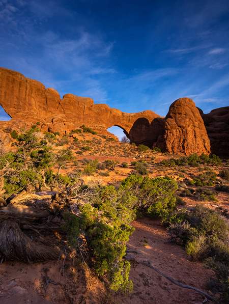
Arches National Park
Arches National Park contains more than 2,000 natural arches—the greatest concentration in the country. Find places to stay, itineraries, reservation info and weather for Arches, Moab and Canyonlands National Park.


-
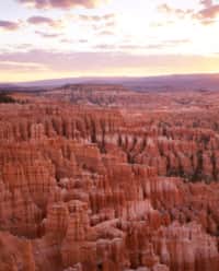
History & Hoodoos
Just the national parks, ma'am. We get it. You're a bucket-lister with a checklist and a pen. We hope it has a lot of ink.
-
Thelma & Louise: A Tribute Road Trip Through the Classic Film’s Utah Settings
Perfect for fans of the beloved film “Thelma & Louise,” tour the exact places where the movie was shot, and make some memories of your own exploring the beauty of this exquisite desert.
-
Iconic Classics Southeast
Three days on the open roads of Southeastern Utah is just enough for a taste of two of its most iconic national parks — Arches and Canyonlands — and a few things in between.