West Desert Gems & Geodes: Utah Rockhounding Road Trip
A complete loop from Salt Lake City to hunting geodes, topaz, obsidian and red beryl.
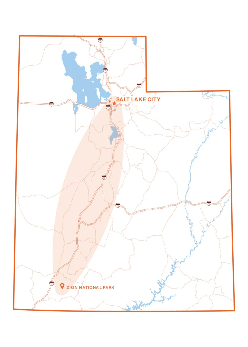
Utah is renowned for its spectacular red rock vistas and gorgeous mountains, but often overlooked are the hidden treasures in the western part of the state. If you are ready to trade well-trodden trails for a rugged, hands-on treasure hunt, this three-day rockhounding road trip — developed in partnership with the Utah Geological Survey — is just for you. Starting and ending in Salt Lake City, the loop takes you off the beaten path through Tooele, Juab, Millard, Beaver and Sanpete counties. Get ready to crack open glittering geodes, hunt for rare red beryl (rarer than diamond!), collect beautiful obsidian and more.
Rules Around Rockhounding
Before you hit the trail, it's important to know the rules of the road — or rather, the land. Rockhounding restrictions in Utah depend on who manages the ground beneath your boots. On federal lands managed by the Bureau of Land Management (BLM) and the U.S. Forest Service (provided they are not within an active mineral claim), non-commercial collecting for personal use is generally welcome in reasonable quantities. However, rockhounding is strictly prohibited in national parks, state parks, national monuments, tribal lands, military reservations, dam sites and wildlife refuges. Remember to always respect private property, leave no trace and keep your collecting casual — commercial harvesting on public lands requires a permit. Learn more at geology.utah.gov.
Preparedness Tip: Download offline maps (e.g. Gaia GPS or Google Offline Maps) in advance. For particularly remote mountain areas, consider carrying a satellite communicator (e.g., Garmin inReach) and paper BLM land status maps.

Wonderstone, Geodes and Topaz
153 Miles
Vernon Hills Wonderstone Location Coordinates: 40.1024, -112.357
Dugway Geode Beds Location Coordinates: 39.8937, -113.137
Topaz Mountain Location Coordinates: 39.6985, -113.103
Begin your morning at the Department of Natural Resources building in Salt Lake City. Home to the Natural Resources Map & Bookstore (and located near Salt Lake City International Airport), this is the ultimate launchpad for your trip. It's the perfect place to pick up detailed paper maps, grab hunting or fishing licenses, and chat with knowledgeable staff who can answer questions to ensure you're fully prepared before venturing into remote areas.
From there, set off for the Vernon Hills Wonderstone Quarry. Here, you can collect a beautiful, multicolored welded-vitric rhyolitic tuff ("vitric" means glassy). This is a volcanic rock made mostly of volcanic glass particles that were welded together by heat, compacted by the weight of overlying material and then altered chemically by circulating groundwater to produce colorful banding. Afterwards, head west along remote dirt roads to reach the world-renowned Dugway Geode Beds. Bring a shovel, a small sledgehammer and a bucket to dig up the gray spheres and split them open to see the glittering geode crystals inside. Wrap up the afternoon by driving south to the volcanic amphitheater of Topaz Mountain. Search the washes and rocks for loose, amber- to clear-colored crystals of topaz—and maybe even one of the world's rarest gemstones, the elusive red beryl.
Where to Stay: Delta and nearby Fillmore offer several hotels and inns, plus local RV parks. Alternatively, you can primitive camp directly on BLM land at Topaz Mountain.
Tips: The Dugway Geode Beds and Topaz Mountain are very remote. Remember to bring plenty of supplies like food, sunscreen and especially water. Topaz crystals found in the open sun will turn from amber to clear over time due to ultra-violet light exposure, so look for crystals tucked inside deep rock pockets and bury any amber-colored finds in an opaque bag to preserve their rich, natural color.

Sunstones, Obsidian and Smoky Quartz
83 Miles
Sunstone Knoll Location Coordinates: 39.1461, -112.715
Black Rock Desert Obsidian Location Coordinates: 38.7594, -112.818
Rock Corral Smoky Quartz Location Coordinates: 38.3714, -112.853
Start the day by heading south out of Delta to Sunstone Knoll. This small, dark volcanic mound features transparent to yellow labradorite crystals on the knoll and the surrounding flats. Also known as sunstones, they are easily visible on sunny days as they sparkle in the sunlight. From Sunstone Knoll, drive south into the Black Rock Desert and its obsidian fields to explore a massive amount of black volcanic glass. You can walk the area to collect snowflake, sheen and mahogany varieties of obsidian. Finish the afternoon by traveling south to the towering granite of the Mineral Mountains at the Rock Corral Canyon recreation area. Explore the public areas and sandy washes around the picnic grounds to look for dark smoky quartz crystals.
Where to Stay: Beaver is a great nearby basecamp, or visitors can also camp at Rock Corral Canyon.
Tip: There is a private claim near the Sunstone Knoll area, but individual collectors are welcome and invited to sign a register maintained at the turnoff into the area.

Agate, Magnesite and Calcite
158 Miles
South Creek Agate Location Coordinates: 38.2214, -112.598
Six Mile Canyon Magnesite Location Coordinates: 39.2133, -111.626
Mount Nebo “Onyx” Location Coordinates: 39.7661, -111.712
Your final day begins close to Beaver with agates along South Creek, just south of town. Agate colors range from blue, green, yellow and white to mossy varieties. Afterwards, cross the Pahvant Range and head north to Six Mile Canyon, just south of Manti. Boulders of magnesite occur in a gully up the canyon, along with chert, chalcedony and shell fossils in limestone. Once you’re finished there, continue north through Moroni toward the Mount Nebo Scenic Byway. Your final stop features "onyx marble." Although not a true onyx, this material is a type of reddish-orange and cream-colored banded calcite. From here, you can head back north to Salt Lake City by way of Nephi and Interstate 15.
Where to Stay: Celebrate your finds with an evening in Salt Lake City.

Rockhounding in Utah
Amateur and professional rock and fossil hunters in Utah enjoy some of the best rockhounding sites in the country. BLM and National Forest lands cover a large percentage of the state and permit free rockhounding in many areas. Be mindful of collecting rules. By treating Utah’s rockhounding sites with care, we can help preserve them for many future generations of rock enthusiasts.