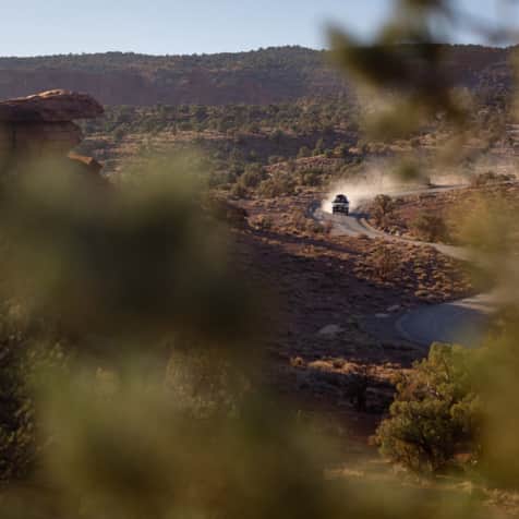
Overview: A short walk to and under a spectacular arch.
Start: Double Arch Parking Area
Distance: 0.8 mile; out and back
Difficulty: Easy
Maps: USGS Arches National Park; Trails Illustrated Arches National Park
Finding the trailhead: Drive 9.2 miles north into the park on the main road until it forks. Take the right fork for 3 miles to the Windows Parking Area and keep going around a loop in the parking area for about a quarter mile. Park in the Double Arch Parking Area on your right (north).
Trailhead GPS coordinates: 38.688300, -109.538367