Introduction to Hiking Utah's High Uintas
Standing at 11,943 feet above sea level, Bald Mountain is one of the highest peaks in the western Uinta Mountains. Happily, the Mirror Lake Scenic Byway gets you within a couple 1,500 feet of the summit.

Standing at 11,943 feet above sea level, Bald Mountain is one of the highest peaks in the western Uinta Mountains. Happily, the Mirror Lake Scenic Byway gets you within a couple 1,500 feet of the summit. The short, two-mile trail from Baldy Pass has made it one of Utah’s most visited alpine peaks.
What Makes It Great
The hike up Bald Mountain is the perfect stepping stone for those who are interested in venturing to alpine summits. Climbing less than 1,300 feet from the trailhead to the top makes it one of the easiest reached peaks above 11,000 feet in Utah. Unlike other mountains that reach above tree line, the hiking trail to Bald Mountain is maintained by the forest service and is easy to follow.
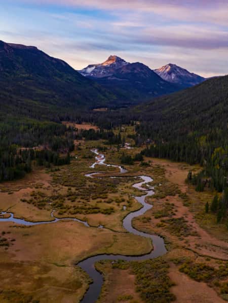
The Uinta Mountains are one of the few ranges in North America that run east to west contrary to the more common orientation of north to south. While you will find lush forests of spruce and pine at the lower elevations the Uintas hold a large amount of land above timberline. This allows for spectacular vistas and sweeping 360-degree panoramic views from the range’s higher points.
Extending your hike over to Reid’s Peak from Bald Mountain and back is an option. There is no official local trail to Reid’s. You make your way down the talus field on the northwest ridge of Bald Mountain to the saddle between then pick your way up the jumbled summit field of Reid’s Peak. A trip over to Reid’s will add two to three hours to the overall hike and is considered strenuous.
What You’ll Remember
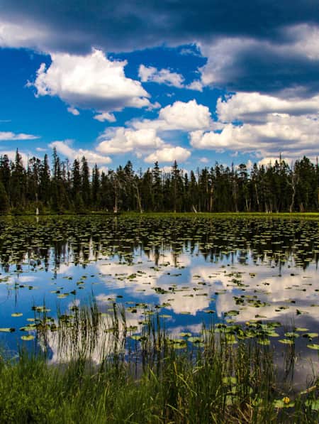
The views from the trailhead at Bald Mountain Pass are stellar and they continue to improve the higher you go. Follow the trail through multiple switchbacks making your way up the open south ridge of Bald Mountain. To the west you will see the soaring summits of Mount Watson and Notch Mountain. The Uinta Mountains are also home to over a thousand lakes. Below, through clearings in the thick pine forests, you will see several lakes, including Cliff and Dean lakes below Notch Mountain, and Wall Lake below Mount Watson.
From the summit plateau of Bald Mountain your reward will be views to north and east. The cone of Reid’s Peak to the northwest is the nearest peak and the long ridgeline of Mount Agassiz and Hayden Peak to the northeast make a beautiful backdrop above Mirror Lake.

Who’s Going to Love It
The four-mile, 1,300 foot round trip venture to the summit of Bald Mountain is a great place to be introduced to an alpine environment. This local hiking trail is ideal for peak baggers, eager hikers, and lovers of breathtaking scenery. The trail is moderately steep, but as it’s relatively short, it is perfect for hikers with a base level of fitness and who can adjust easily to the altitude. On any given day you will find old and young, and families and groups all sharing the views from the summit.
Parking, Directions, and Regulations
The Bald Mountain Trail sits within a National Forest Fee Area. You may purchase multi-day passes at numerous locations along the Mirror Lake Highway.
Bald Mountain Trailhead - From Kamas, drive Hwy 150 about 29 miles east to the signed trailhead and parking area at the top of Bald Mountain Pass, just beyond the overlook. From Evanston, Wyoming follow Highway 150 south for 49 miles to the Bald Mountain Trailhead. From there follow the signed trail as it climbs switchbacks up the ridge.
GPS Coordinates:
(N40° 41' 22", W110° 54' 15")

Discover More
-

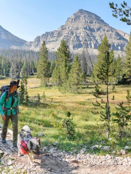
Backpacking the High Uintas Wilderness [VIDEO]
Field notes — plus a short film — on backpacking the High Uintas Wilderness. Pursue solitude, extended moments of introspection, cutthroat trout and the Milky Way.
-
How to Visit Utah’s Most-Visited Forest
The Wasatch Front mountain range offers endless amounts of recreational activity. Learning how to visit responsibly will enhance your overall experience.
-
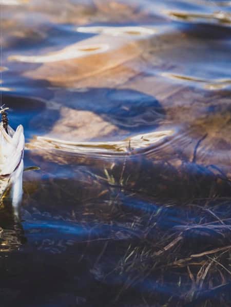
Fly Fishing the Uinta Mountains
The Uinta Mountains are one of Utah’s top fly fishing destinations. Learn where to go and how to land that trophy trout, then plan your own fly fishing getaway.
-
Touring the Sheep Creek and Spirit Lake Scenic Backways of Flaming Gorge National Recreation Area
Explore the Utah Sheep Creek backways within the Flaming Gorge National Recreation Area. Experience awe-inspiring scenery, rock formations, and wildlife.