Middle Route to Buckskin Gulch
Start: Middle Route Trailhead
Distance: 2.8 miles, round-trip
Approximate hiking time: 3 hours
Difficulty: Very Strenuous, Class 3 and 4 downclimbing to enter Buckskin Gulch; ropes to lower packs are essential
Trail surface: Cross-country and wash route; good routefinding ability required
Trailhead access: 4WD required due to extensive areas of soft sand
Best seasons: April through June; September through October
Canine compatibility: Dogs permitted (not recommended due to strenuous nature of the route and steep drop-offs)
Water availability: None available; bring your own
Hazards: Exposure to steep drop-offs; very steep slickrock friction pitches and loose sand on rock ledges; flash-flood danger in Buckskin Gulch
Permits: Reservations for permits for overnight use required; day hikers must pay the appropriate fee at kiosk/self-service fee station located below the Paria Contact Station.
Topo maps: West Clark Bench and Bridger Point (both Utah-Arizona) USGS quads; BLM: Paria Canyon–Vermilion Cliffs Wilderness map or Smoky Mountain
Finding the trailhead: Unsigned Long Canyon Road leading to West Clark Bench, branching south from US 89, is the first southbound road you reach 0.2 mile west of the Paria River bridge, between mileposts 21 and 22. Find the turnoff 0.6 mile west of the turnoff to the Paria Contact Station, 30 miles northwest of Page, Arizona, or 42 miles east of Kanab, Utah.
After finding the turnoff, proceed south on Long Canyon Road. Due to deep sand, minimal maintenance, and possible flood damage, a 4WD vehicle is recommended and may be required to reach the trailhead. Do not attempt to drive to the trailhead in a low-clearance car. This road is a public road through private property for 0.9 mile. Shortly after leaving the highway, you pass the landmark teepees of the Paria River Guest Ranch and reach the first of five cattle guards after 0.25 mile. After passing over the fourth cattle guard, you enter public lands and soon thereafter reach the first sandy crossing of Long Canyon Wash, which is subject to washouts, 1.1 miles from the highway.
The road ahead, which can be slippery if not impassable when wet, ascends the shallow drainage of Long Canyon. You pass over the fifth and final cattle guard after 2.5 miles and cross the wash one last time at 3.1 miles. After the road tops out on the broad sandy plateau of West Clark Bench at 4.2 miles, you pass the first of several right-branching roads, and you bear left at all but one junction ahead. This point is generally the end of maintenance on this road, so expect challenging driving conditions ahead.
As you continue along the sandy track, bear right at 5.1 miles, where a faint track branches left (north). After 7.8 miles you reach a green steel gate. Park next to the large solitary juniper just beyond the gate or in one of the pullouts, where you can also camp, about 0.1 mile west of the gate.
Hike Information
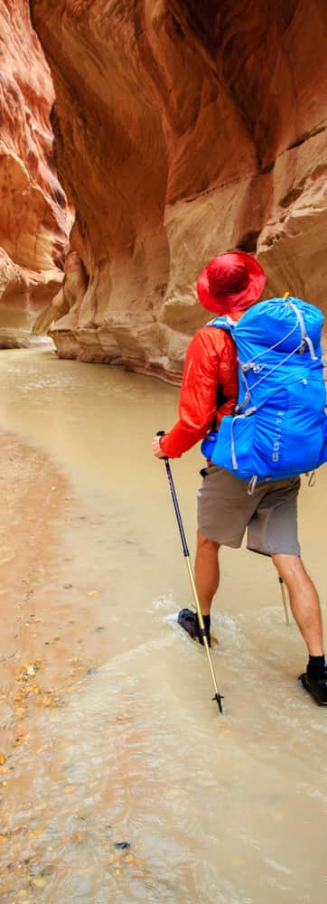
The Middle Route offers a short, no-nonsense approach to the lower reaches of Buckskin Gulch. For backpackers hiking through Paria Canyon to Lees Ferry, or out to White House Trailhead, this route shaves about one hiking day off the trip, yet still leaves 5.5 miles of Buckskin Gulch’s famous narrows to be traversed. This approach also avoids most, but probably not all, of Buckskin Gulch’s stagnant pools.
As with any other slot canyon hike, don’t consider this trip if rain is even a remote possibility. Once you reach Buckskin Gulch, there is no safe high ground for many miles.
Experienced canyoneers will find the route simple and straightforward down to the rim of Buckskin Gulch. From there the route plunges down a sandy slickrock crack, where one misstep could be your last. A healthy respect for steep drop-offs and experience descending very steep slickrock with a backpack are necessary to negotiate the descent route safely. Be sure to pack along a 50-foot length of rope or nylon cord, as you will be forced to lower packs en route. A rope will also be necessary to lower packs over the boulder jam in Buckskin Gulch, 3.5 miles below the Middle Route.
Stop by the Paria Contact Station off U.S. 89 to obtain last-minute information on weather and hiking conditions.
