Escalante Canyons
Location
The canyons are in south-central Utah, north and west of the Glen Canyon National Recreation Area and Lake Powell. Accessed from Escalante or Boulder, Escalante Canyons is in the northeastern section of the Grand Staircase area.
Geography and Geology
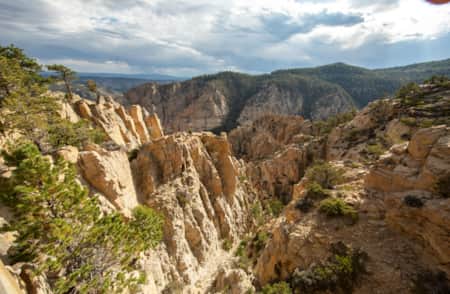
The Escalante Canyons in the northern reaches of the monument begin as modest draws draining the flanks of Boulder Mountain. This lofty volcanic tableland bounds the river basin to the north and northwest. Drainages begin on the broad terrace traversed by Hole-in-the-Rock Road, gradually approaching the Escalante River. Once these drainages carve routes into the resistant Navajo Sandstone, they quickly develop into a network of slickrock gorges that are the myriad veins feeding the main artery of the river. Particularly in the upper Escalante Canyons, just below Boulder Mountain, the slickrock gorges emerge so suddenly and with such profound dimensions that it is an unrivaled scene of visual inspiration on the Colorado Plateau.
Navajo Sandstone is the predominant rock formation in the Escalante Canyons. Erosion has exhumed these ancient dunes and sculpted the resistant cross-bedded slickrock into a vast landscape of domes incised with innumerable serpentine canyons. This chiseled land is a true work of natural art and an unforgettable sight.
Be Prepared
-

Grand Staircase-Escalante Hiking
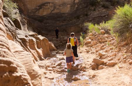
Hiking in Grand Staircase-Escalante’s otherworldly landscape delivers slot canyons, narrows, slick rock and waterfalls. Find family-friendly trails and challenging multi-day hikes for adventurers.
-
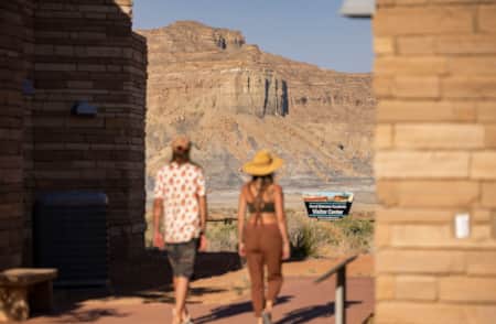
How to Visit Grand Staircase-Escalante
Explore and stay safe in Grand Staircase-Escalante’s remote desert wonderland — what to drive (2WD vs. 4WD), what to pack and where to fuel up and gather supplies.
-
Scenic Drives
Take the road less traveled. Find solitude and scenery on Scenic Byway 12, Cottonwood Canyon Road, Hole-in-the-Rock Road and Burr Trail.