Meet the Fremonts: Unearthing an Ancient Civilization
When road crews built I-70 through Central Utah, they uncovered one of the largest-known Fremont culture villages to date. Today, a well-curated museum showcases the incredible discover and hiking trails explore the petroglyphs and pictographs on the rock walls of this scenic canyon. Meanwhile, a tucked-away campground offers tranquil nights beneath pristine dark skies.


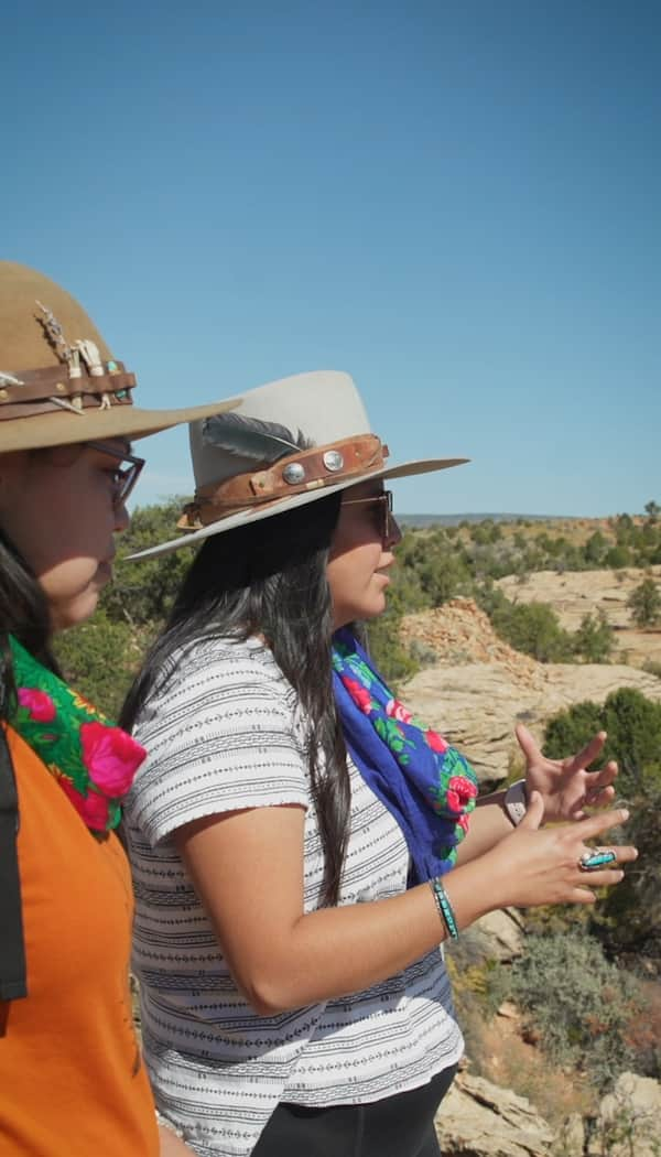
Fun for the whole family.
Photo: Jim Urquhart
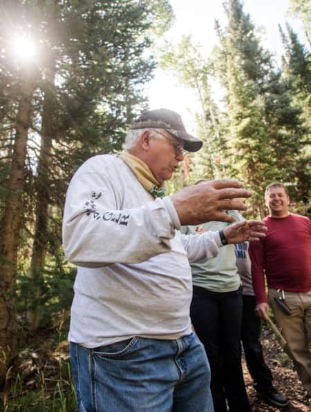
You put up a sign that says, “Bill and Bear,” and you’ll get people looking around for the bear. So says camp host and all-around-character Bill Bray. When I approach, I find the bear already in a submissive position on the mat in front of the camp host’s trailer. Either I am the burly alpha dog in this relationship or Bear, a black Maltese made dusty gray from rolling in the sand, has learned the secret of free belly rubs.
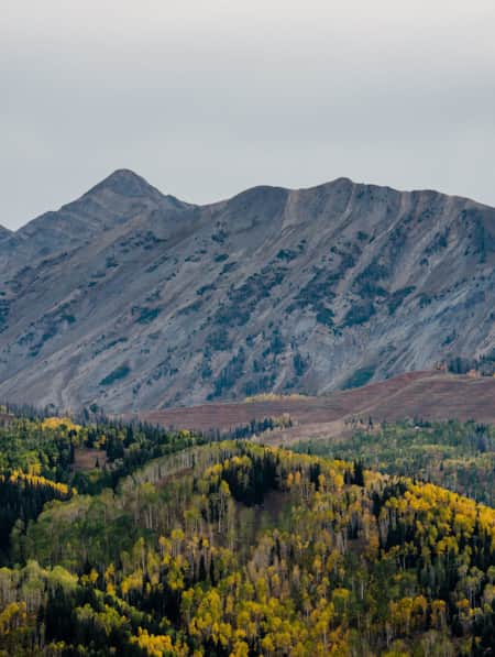
We are standing in the Castle Rock Campground of Fremont Indian State Park beneath the chiseled rock turrets of layered sedimentary stone adorned with white bands of hardened volcanic ash. Geologists recognize this once-volatile patch of the Colorado Plateau as “the Marysvale volcanic field.” Millions of years ago, the Earth made mountains here. And then time helped take them apart: depositing, stretching, eroding.
I am no geologist, but these rocks are fascinating.
"I-70 has an even deeper relationship with Fremont Indian State Park: the highway created it."

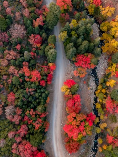
Fremont Indian State Park Rock Art.
Photo: Jim Urquhart
Castle Rock is tucked away in a blink-and-you’ll-miss-it canyon on the south side of Interstate 70. When I stop by the host’s site to replenish my supply of firewood, Bray tells me he’s met a number of people from the nearby town of Richfield who lived there for years and didn’t know about the campground. Though last year was Bray’s first season as camp host, outside of park manager Kevin Taylor, you’d be hard-pressed to find a better ambassador for the place. Hardened as a heavy equipment operator in the depths of mining pits, Bray seems to welcome the quiet, isolated campground and primitive campsites; the elk, mule deer, squirrels and wild turkeys; and the incredibly dark skies.
Joe Lott Creek bubbles through the middle of the campground, providing nature’s white noise come bedtime, and feeding the larger Clear Creek in the canyon below. It gets dark at night, but not in the way of the city. It gets really dark. The fire dies and with it the crackling of the embers. Though I’m traveling with my usual car camping supplies, I’ve opted for the teepee which is surprisingly spacious inside — room for a small family. A narrow gap at the bottom has me wishing for a cot, but I pass the night undisturbed.
The creek’s name honors an early Mormon pioneer who settled the remote, geologically unusual valley. Large outcroppings of lightly colored rock line Clear Creek and the Interstate, and they also bear his name: The Joe Lott Tuff, which is 19-million-year-old volcanic ash compacted into solid rock.
It’s easy to imagine this place as the backdrop to an early pioneer homestead with wildlife to hunt, fish in Clear Creek, and close access to the nearby Old Spanish Trail and the mines at Kimberly, now a hidden ghost town.
I hike the park: more than a dozen points of interest on a collection of trails ranging from a half-mile to five miles in length. I nearly walk them all. But there’s another way to enjoy Fremont Indian: by ATV. Separate from the hiking trails, the Paiute ATV Trail passes directly through the park, arriving from the north and working through Clear Creek Canyon to the Max Reid Trail and Forest Road 475. Sam Stowe Group Area is a reservable camping site with rv hookups that throughout the summer months is a base camp for riders on the Paiute.
Fremont Indian State Park interfaces with I-70 in some unusual ways. From the campground, you’d never know there’s a major interstate just down the road, but walking some of the park’s nature trails, you pass through gates and underpasses designed to funnel wildlife safely across the canyon. Wind in the canyon seems to work in harmony with the Interstate. It blows the expansive crown of the cottonwoods along the Clear Creek frontage road as I follow the trail to the Cave of a Hundred Hands. I stir up cottontails when I walk. I barely notice the whooshing cars except when I catch the occasional glimpse of the top of a passing semi.
But I-70 has an even deeper relationship with Fremont Indian State Park: the highway created it. When engineers cut fill for the freeway from a hillside called Five Finger Ridge in the 1980s, they unearthed one of the largest-known Fremont culture villages to date: more than 100 structures filled with thousands of artifacts.
"When author intent is lost to time, the reader is left to interpret."

Fremont Indian State Park Museum.
Photo: Jim Urquhart
It is clear to a casual observer in the Fremont Indian State Park and Museum that much was lost to the construction and the decimation of the ridge. But something was gained, too: a stronger understanding of place. With each succeeding generation, we learn better how to preserve our past. As the world grows smaller, the importance of our individual places intensifies. We learn why it matters who preceded us on these lands and how we can honor their heritage by becoming stewards of history and the lands that preserve and reveal it.
We leave our marks in different ways. Modern humans blasted through a hillside to make way for an Interstate Highway that began 2,000 miles away on the Eastern Seaboard of the United States. More than 1,000 years ago, there lived an ancient civilization so incompletely known they bear the name of a nearby river, which in turn bears the name of the white, Western explorer John Charles Frémont.
But we can see they developed a highly collaborative civilization. Displays in the museum pull back the curtain: People spent their days gathering and grinding corn, cattail root and other foraged foods. They made tools by hand. Basalt into mortars. Obsidian into knives and arrowheads. They made snares and nets and they wove. They gathered together in pithouses designed to stay cool in summer and warm in winter. They may have played some music to relax before going to sleep. And the next day, they did it all over again. And while they were out, they painted on the smooth cliffs or chipped through the desert varnish of the canyon, a collection of pictographs and petroglyphs, messages that today carry no certain meaning. When author intent is lost to time, the reader is left to interpret. That is the power of Fremont Indian State Park. Despite the Interstate, it is a rugged, remote place. Visitors interpret the past while navigating the present.
Before hiking any of the trails, visit the Fremont Indian State Park and Museum visitor center to get information on trail conditions, see primitive artifacts and pick up a map of the trail complex.
Discover More
-

Guardians of the Old Spanish Trail
The Old Spanish Trail stretches from Santa Fe to the San Gabriel Mission, now Los Angeles, and covers over 2,500 miles. The trail was originally blazed by animals, then Native Americans and Spanish traders.
-
Max Reid and the Max Reid ATV Trail
Meet an Icon of Utah's Renowned ATV Trail System
-
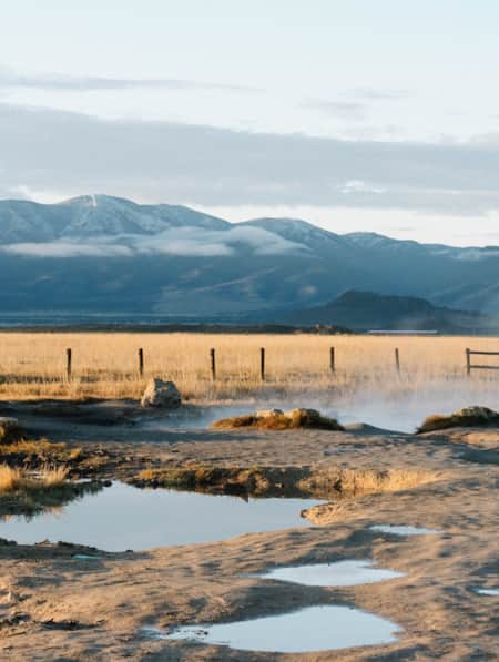
Mystic Hot Springs and Music Festival
Explore on of the best hot springs in Utah, the Mystic Hot Springs in Monroe.
-
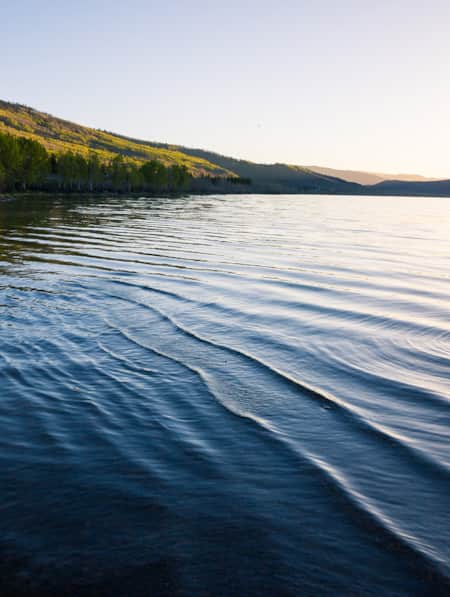
Fishing Fish Lake
The largest natural mountain lake in Utah, Fish Lake sits at more than 8,800 feet of elevation, which makes for pleasant weather all summer long. Located near Richfield, Utah, the lake has everything you need for a relaxing summer getaway.
-
A Wild Bunch of Apples
A new cidery, established in the historic orchard lands of Central Utah, draws upon the paradoxical story of its namesake’s outlaw life running around with Butch Cassidy’s Wild Bunch.
-
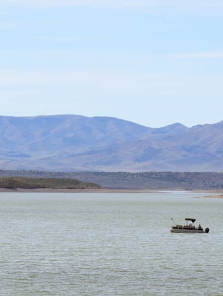
How to Take a Kayak & Camping Trip at Yuba State Park
Pristine sandy beaches, warm water temperatures all summer long and serene mountain views make Yuba State Park an appealing destination for campers and kayakers in sunny Central Utah.
-
5 Hot Springs for a Romantic Utah Long Weekend
For those seeking a slice of paradise, the mineral-rich hot springs of Utah are a picture-perfect destination for a romantic getaway built for two.
-
11 Utah Scenic Byways for Leaf Peeping
Explore 11 Scenic Drives in Utah for some serious leaf peeping. Utah is one of the best places to see fall foliage, visit great attractions, events and festivals.
-
Why You Should Ditch I-15 on Your Way to Zion
If you’re not in a rush to get to Zion National Park from Northern Utah, consider taking a long, meandering route that features historic sites, adventure breaks and out-of-this-world scenery. Hop off I-15 and take Highway 89 and four nearby scenic byways to see and do as much as you possibly can on your way to Zion.
-
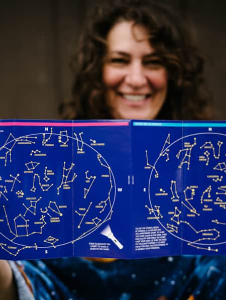
Reclaiming the Stars: Utah’s Dark Sky Initiative
Utah's Dark Sky Initiative helps state park visitors experience the cosmos by protecting night skies, encouraging astrotourism and promoting stargazing.
-
Welcome to Utah's Trail County
Sevier County is a Prime Gateway to the State's Most Extensive OHV Trail System.